
 EE
Not accessible
EE
Not accessible
Trail Map
Il tracciato completo con i punti di interesse. Puoi cambiare il tipo di mappa dal comando in alto a destra e attivare rifugi, fontane e parcheggi dal pannello a sinistra.
Elevation Profile
Description
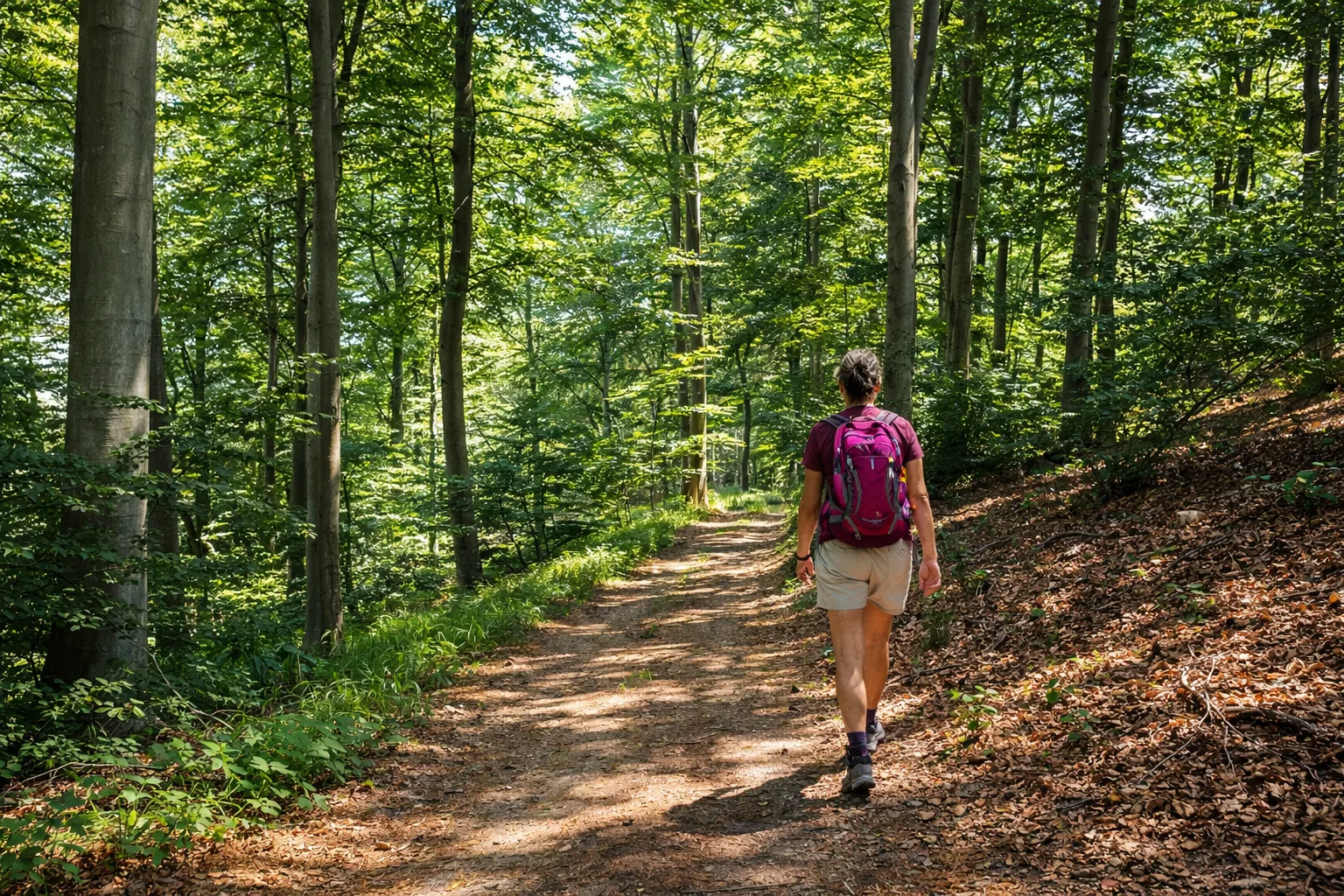
The Fonti della Bauda Loop is a demanding route exploring the southern slopes of the Val Bormida di Calizzano, through beech and chestnut forests up to the historic Bauda springs, used since the Middle Ages by transhumant shepherds. The trail climbs steadily from the valley floor at 634m to over 1,100 metres, passing clearings where mountain arnica and great yellow gentian bloom in summer. The most exposed section follows a panoramic ridge with views stretching across the Ligurian-Piedmontese Apennine divide, reaching as far as Monviso on clear days. Along the way, abandoned charcoal-burning platforms — circular clearings where charcoal was produced until the 1940s — and dry-stone pastoral shelters dot the landscape. The return descends along an ancient cobbled mule track. Recommended from June to October
Gallery
Navigate with QR Code
Scan with your smartphone to start guided navigation directly on the trail.
Trail QR Code
Frame the QR code to open the full navigation

Partenza
Km 0.00
Accessibility for People with Disabilities
Tratti esposti sulla cresta, pendenze costanti
Il livello di accessibilità è dichiarato dall'ente che gestisce il percorso. Se trovi una difformità, segnalacela: la correggiamo insieme al Comune.
Scarponi alti da montagna, bastoncini telescopici, acqua 2L, giacca tecnica, kit primo soccorso, torcia frontale, mappa sentiero, snack energetici
For additional information, contact the local tourist office or the reference shelter for the trail.
44,24276, 8,11937

