
 E
E
Trail Map
Il tracciato completo con i punti di interesse. Puoi cambiare il tipo di mappa dal comando in alto a destra e attivare rifugi, fontane e parcheggi dal pannello a sinistra.
Elevation Profile
Description
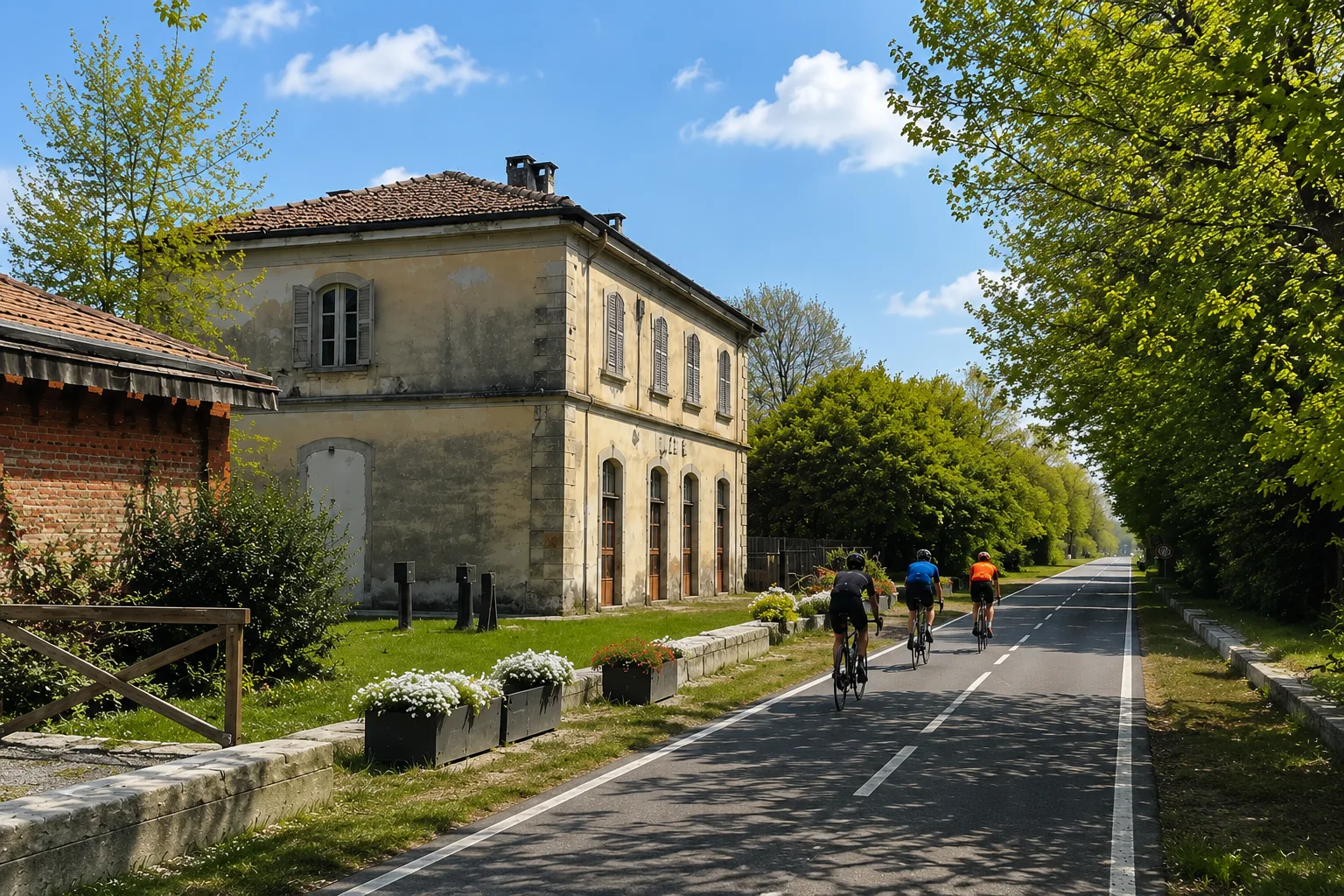
The Via delle Risorgive (The Way of the Spring) is a cycling and hiking trail that crosses the plain between Vigone and the surrounding area, following the resurgences, natural springs where groundwater resurfaces. The route winds through a flat landscape of great natural interest, including wetlands, rice paddies, and cultivated fields. The resurgences create unique microhabitats that support a rich biodiversity of plants and animals. A long but easy route, ideal for cycling and discovering a little-known aspect of the Piedmont landscape.
Gallery
Navigate with QR Code
Scan with your smartphone to start guided navigation directly on the trail.
Trail QR Code
Frame the QR code to open the full navigation

Partenza
Km 0.00
trekking shoes, poles, water, rain jacket
For additional information, contact the local tourist office or the reference shelter for the trail.
44,87766, 7,49340

