
 T
T
Trail Map
Il tracciato completo con i punti di interesse. Puoi cambiare il tipo di mappa dal comando in alto a destra e attivare rifugi, fontane e parcheggi dal pannello a sinistra.
Elevation Profile
Description
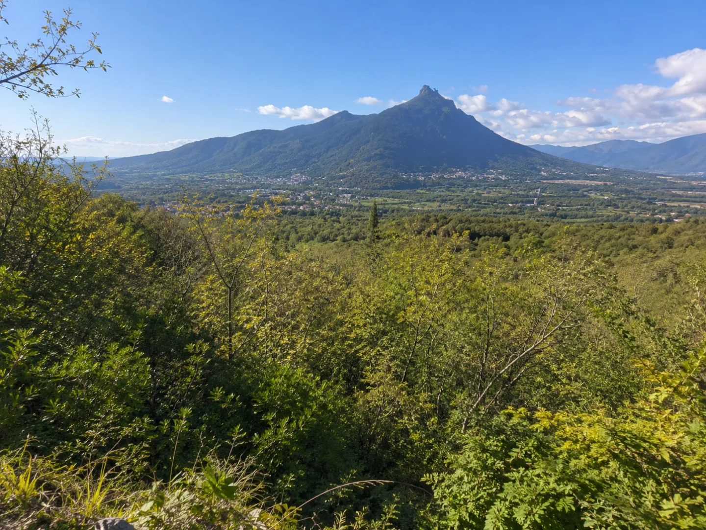
The Sala trail is a hiking trail that winds through the Villar Dora area, at the entrance to the Susa Valley. The route ascends the wooded slopes above the village, passing through chestnut groves and mixed forests, with panoramic views of the lower valley and the Turin plain. The route offers a pleasant nature experience in a transitional hill-mountain environment, ideal for half-day hikes. Along the way, you'll encounter vestiges of rural mountain life and picturesque views of the surrounding mountains.
Gallery
Navigate with QR Code
Scan with your smartphone to start guided navigation directly on the trail.
Trail QR Code
Frame the QR code to open the full navigation

Partenza
Km 0.00
comfortable shoes, water, sunscreen
For additional information, contact the local tourist office or the reference shelter for the trail.
45,12267, 7,36342

