
 E
E
Trail Map
Il tracciato completo con i punti di interesse. Puoi cambiare il tipo di mappa dal comando in alto a destra e attivare rifugi, fontane e parcheggi dal pannello a sinistra.
Elevation Profile
Description
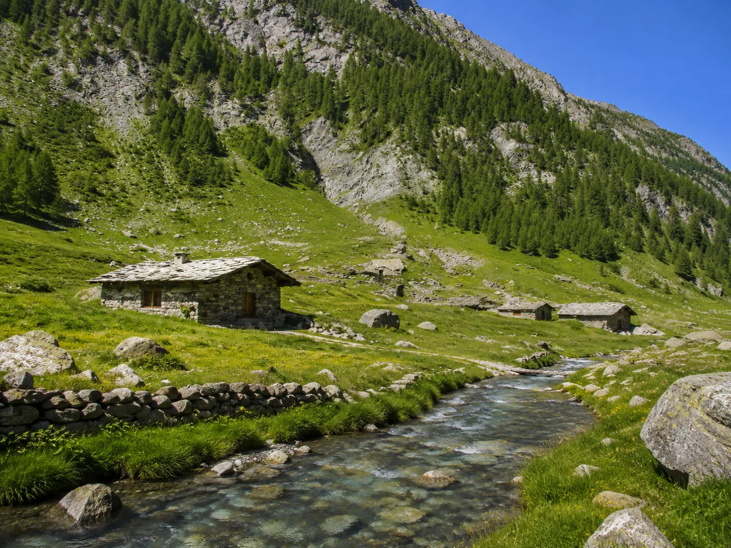
The trail from the Barbara Refuge to Villar Pellice is a hiking itinerary that crosses the Pellice Valley, in the heart of the Waldensian Valleys. The route winds through beech and conifer forests, mountain pastures, and rocky terrain, with a significant elevation gain that makes it suitable for experienced hikers. The area is rich in Waldensian history and offers views of the peaks of the Cottian Alps and the valley below. A challenging yet rewarding itinerary that allows you to discover one of the most characteristic areas of western Piedmont.
Gallery
Navigate with QR Code
Scan with your smartphone to start guided navigation directly on the trail.
Trail QR Code
Frame the QR code to open the full navigation

Partenza
Km 0.00
trekking shoes, poles, water, rain jacket
For additional information, contact the local tourist office or the reference shelter for the trail.
44,75195, 7,08129

