
 T
T
Trail Map
Il tracciato completo con i punti di interesse. Puoi cambiare il tipo di mappa dal comando in alto a destra e attivare rifugi, fontane e parcheggi dal pannello a sinistra.
Elevation Profile
Description
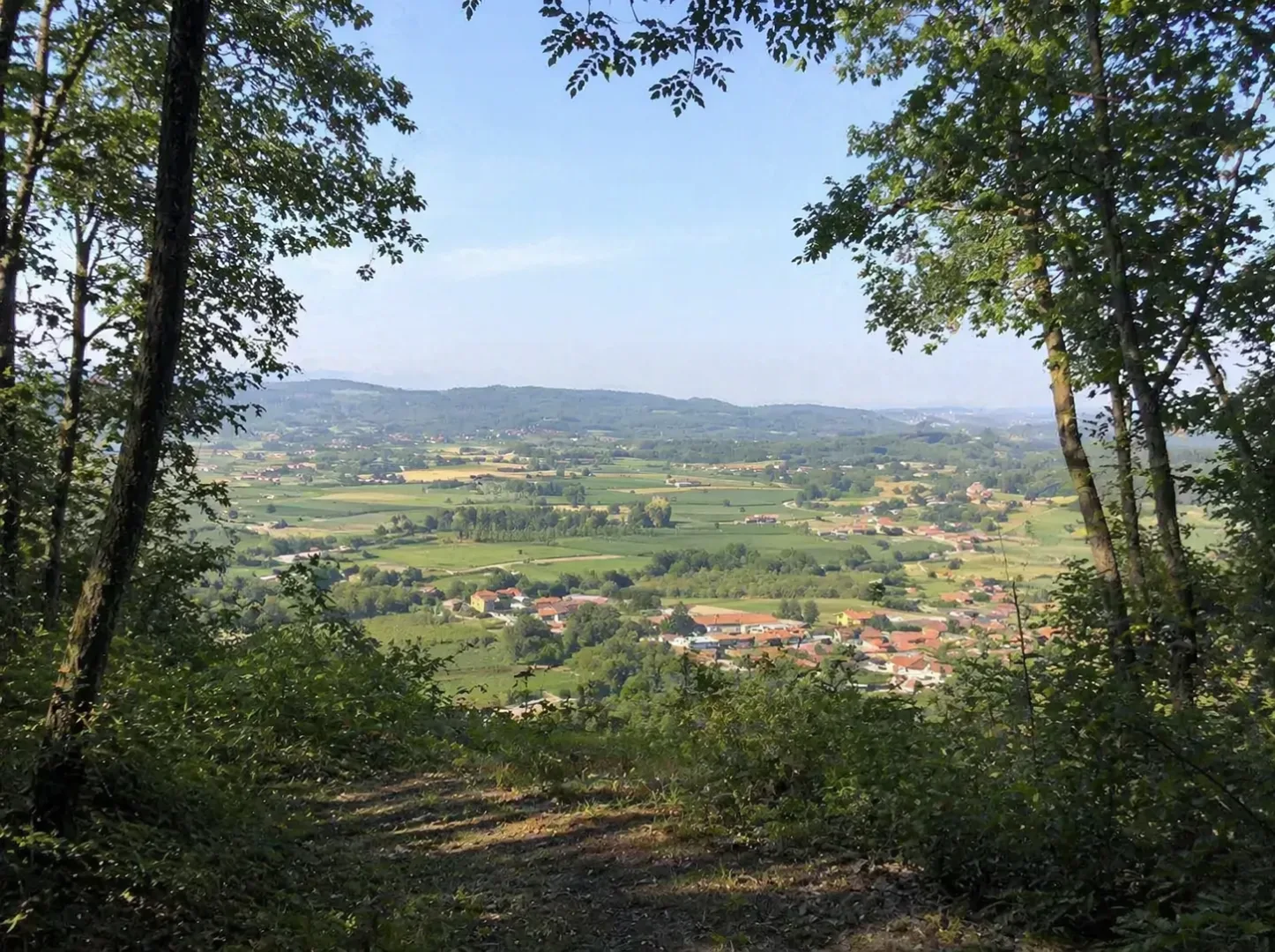
The MoncriVilla Trail Blu is a hiking trail that winds through the hills of the Monferrato Canavese area, crossing the Villareggia district. The route connects rural villages, vineyards, and oak forests in a harmonious hilly landscape. The trail offers panoramic views of the Po Valley and the Alps, alternating between high-altitude stretches and descents into the valleys. This medium-length route, suitable for experienced hikers, combines nature, rural culture, and local cuisine.
Gallery
Navigate with QR Code
Scan with your smartphone to start guided navigation directly on the trail.
Trail QR Code
Frame the QR code to open the full navigation

Partenza
Km 0.00
comfortable shoes, water, sunscreen
For additional information, contact the local tourist office or the reference shelter for the trail.
45,31497, 7,96749

