
 E
Not accessible
E
Not accessible
Trail Map
Il tracciato completo con i punti di interesse. Puoi cambiare il tipo di mappa dal comando in alto a destra e attivare rifugi, fontane e parcheggi dal pannello a sinistra.
Elevation Profile
Description
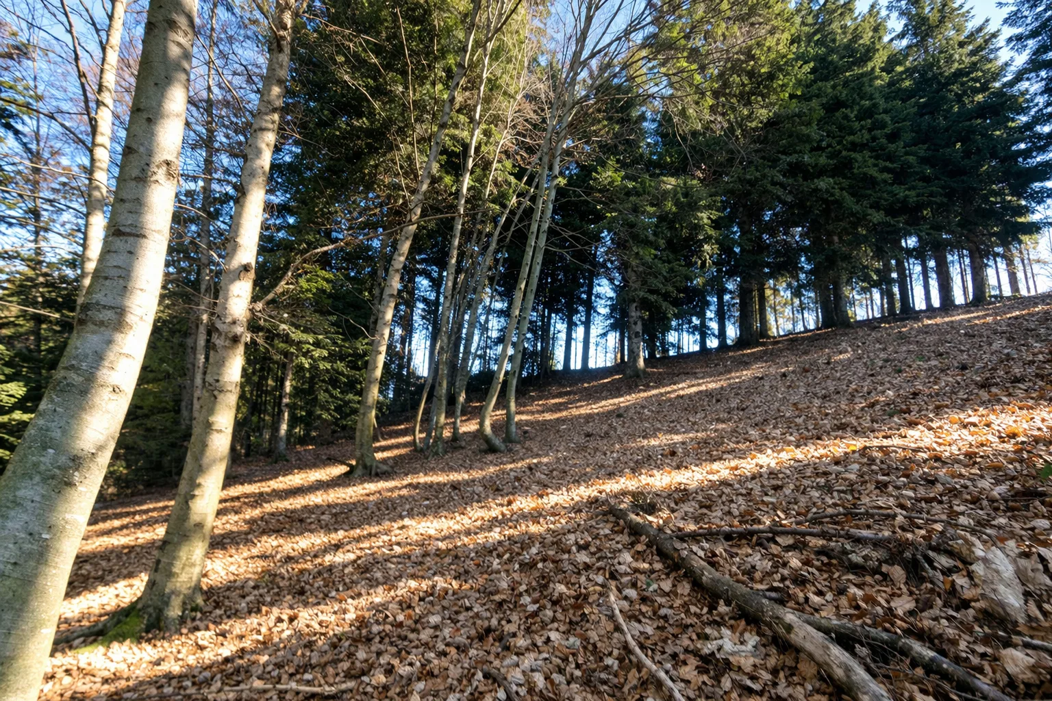
The Ronco di Maglio Loop winds through the wooded hills of the Savona hinterland, crossing the territory of Millesimo, a medieval village awarded the Touring Club's Orange Flag. The trail starts from the Gorra area and climbs through dense beech forests interspersed with grassy clearings, reaching the summit of Ronco di Maglio at around 1,048 metres. The undergrowth is rich in porcini mushrooms in autumn, a season when local foragers have walked these same paths for generations. The route alternates well-preserved mule tracks with natural trail sections, including ridge passages offering views over the Bormida Valley and the medieval castles dotting the surrounding hilltops. The area is known for the Battle of Millesimo in 1796, part of Napoleon's Italian Campaign, commemorated by plaques along the way. Hikeable from March to November, with the best colours in October.
Gallery
Navigate with QR Code
Scan with your smartphone to start guided navigation directly on the trail.
Trail QR Code
Frame the QR code to open the full navigation

Partenza
Km 0.00
Accessibility for People with Disabilities
Il livello di accessibilità è dichiarato dall'ente che gestisce il percorso. Se trovi una difformità, segnalacela: la correggiamo insieme al Comune.
Scarponi da trekking, bastoncini, acqua 1.5L, giacca a vento, snack energetici, mappa del sentiero
For additional information, contact the local tourist office or the reference shelter for the trail.
44,29354, 8,23912

