
 E
Not accessible
E
Not accessible
Trail Map
Il tracciato completo con i punti di interesse. Puoi cambiare il tipo di mappa dal comando in alto a destra e attivare rifugi, fontane e parcheggi dal pannello a sinistra.
Elevation Profile
Description
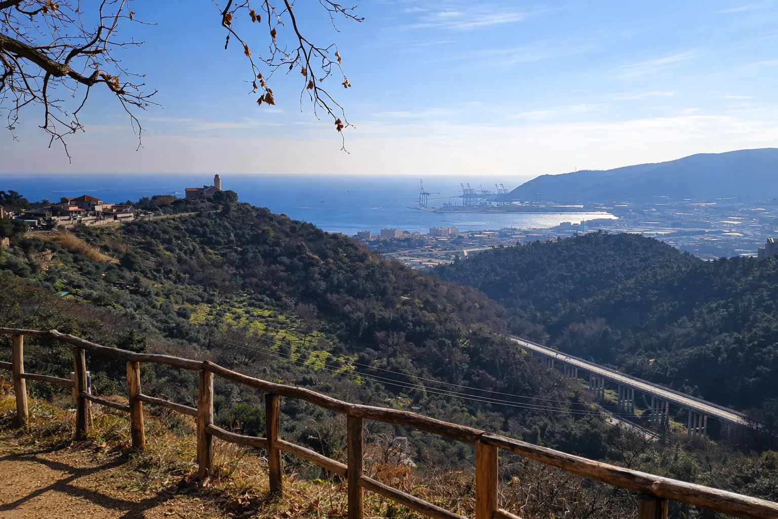
The Elves' Trail is an evocative route through the forests of the Beigua Park near Sassello, combining nature and imagination thanks to wooden sculptures and artistic installations scattered throughout the woodland. The trail crosses mixed terrain — shaded undergrowth, rocky stream fords and climbs through chestnut and oak trees — with moderate overall elevation gain spread across numerous ups and downs. The vegetation is typical of the Ligurian hill zone, with a predominance of deciduous broadleaves and a rich shrub layer of heather and broom. At several points the path runs alongside ophiolite outcrops, the green rocks characteristic of the Beigua area. The route is popular with families especially in spring, when the forest floor is covered in anemones and cyclamens. Plan for a full day and bring a packed lunch given the trail's length.
Gallery
Navigate with QR Code
Scan with your smartphone to start guided navigation directly on the trail.
Trail QR Code
Frame the QR code to open the full navigation

Partenza
Km 0.00
Accessibility for People with Disabilities
Il livello di accessibilità è dichiarato dall'ente che gestisce il percorso. Se trovi una difformità, segnalacela: la correggiamo insieme al Comune.
Scarponi da trekking, bastoncini, acqua 1.5L, giacca a vento, pranzo al sacco, crema solare
For additional information, contact the local tourist office or the reference shelter for the trail.
44,30116, 8,42831

