
 T
Accessible
T
Accessible
Carte du Parcours
Il tracciato completo con i punti di interesse. Puoi cambiare il tipo di mappa dal comando in alto a destra e attivare rifugi, fontane e parcheggi dal pannello a sinistra.
Profil Altimétrique
Description
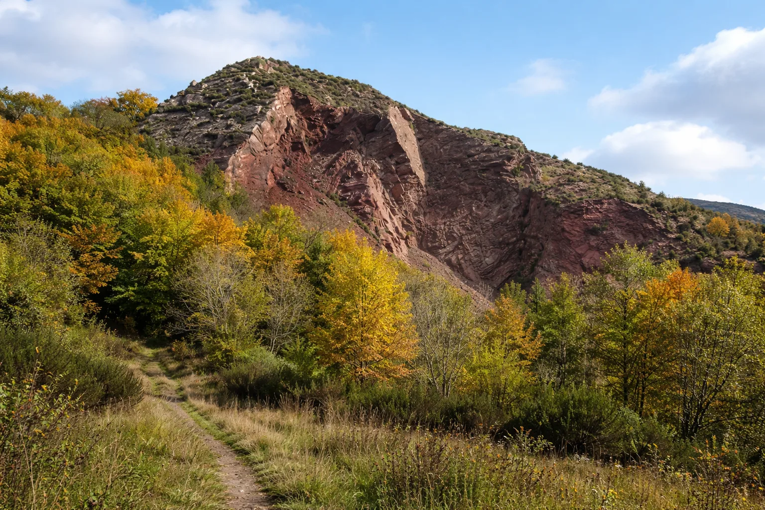
Le sentier de découverte de la nature du Monte Bossea, dans le Parc Naturel Régional de l'Aveto, est un sentier pédagogique autoguidé qui débute à la mine de Gambatesa (502 m) et atteint le sommet du Monte Bossea (730 m). Quatorze points d'observation jalonnent le parcours. À noter : une rare « bosseta », une végétation dominée par le buis (Buxus sempervirens), vestige du Tertiaire qui a survécu grâce aux ophiolites présentes dans le substrat. Le sentier offre des vues imprenables sur les forêts de l'arrière-pays et la mer Ligure, jusqu'au promontoire de Portofino. Informations techniques : longueur 1,9 km, dénivelé 64 m, altitude 653-717 m, commune de Ne (Ligurie), gestionnaire : Ente Parco dell'Aveto, réseau OSM : réseau local, code du sentier : 317, cotation CAI : E. Source : https://www.parcoaveto.it/carteguide_dettaglio.php?id=6263
Galerie
Naviguer avec le QR Code
Scannez avec votre smartphone pour démarrer la navigation guidée directement sur le sentier.
QR Code Général du Parcours
Cadrez le QR code pour ouvrir la navigation complète

Partenza
Km 0.00
Accessibilité pour Personnes Handicapées
Il livello di accessibilità è dichiarato dall'ente che gestisce il percorso. Se trovi una difformità, segnalacela: la correggiamo insieme al Comune.
Chaussures de randonnée ou chaussures confortables à semelles crantées, eau et tout équipement personnel pour les personnes handicapées ; par temps frais, un coupe-vent.
Pour plus d'informations, contactez l'office de tourisme local ou le refuge de référence.
44,36086, 9,44668

