
 E
Not accessible
E
Not accessible
Trail Map
Il tracciato completo con i punti di interesse. Puoi cambiare il tipo di mappa dal comando in alto a destra e attivare rifugi, fontane e parcheggi dal pannello a sinistra.
Elevation Profile
Description
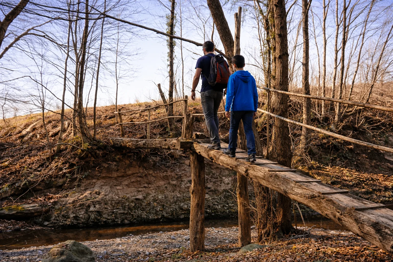
Trail 2 of the Adelasia Reserve crosses the wildest part of the state forest, where silence is broken only by birdsong and woodpeckers tapping bark. The route develops between 410 and 674 metres, alternating pure beech stands with mixed oak and hop hornbeam woodland. The trail reaches the Bormida di Pallare stream where water flows over polished sandstone boulders forming crystal-clear pools. Two wooden footbridges and a seasonal ford — requiring care in spring — punctuate the route. The area is home to badgers and stone martens whose traces are visible on tree bark and along burrow entrances. A small 18th-century votive chapel hidden among chestnuts at mid-route is worth a stop. Ideal from April to November, pleasantly cool even in summer thanks to the forest canopy.
Gallery
Navigate with QR Code
Scan with your smartphone to start guided navigation directly on the trail.
Trail QR Code
Frame the QR code to open the full navigation

Partenza
Km 0.00
Accessibility for People with Disabilities
Guado stagionale
Il livello di accessibilità è dichiarato dall'ente che gestisce il percorso. Se trovi una difformità, segnalacela: la correggiamo insieme al Comune.
Scarponi da trekking, bastoncini, acqua 1.5L, giacca a vento, snack energetici
For additional information, contact the local tourist office or the reference shelter for the trail.
44,38641, 8,36749

