
 T
T
Trail Map
Il tracciato completo con i punti di interesse. Puoi cambiare il tipo di mappa dal comando in alto a destra e attivare rifugi, fontane e parcheggi dal pannello a sinistra.
Elevation Profile
Description
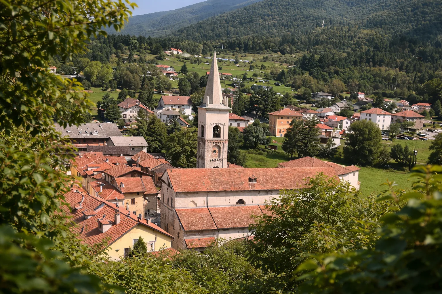
The Calizzano Castle Loop is a short circular walk around the ruins of the medieval castle of the Del Carretto family, feudal lords who ruled the Val Bormida from the 12th to the 16th century. The trail starts from the historic centre of the village — known for its artisan production of preserved mushrooms — and climbs gently to the hilltop where the ruins stand, surrounded by chestnut and oak trees. From the top, a 360-degree view opens over the Calizzano basin and the surrounding mountains. The route features informative panels on the castle's history and the Del Carretto dynasty. Suitable for families with children and walkable in every season, it is especially pleasant in autumn when chestnut foliage creates an atmospheric setting around the ruins. The visit can be combined with the Chestnut Museum in the village centre.
Gallery
Navigate with QR Code
Scan with your smartphone to start guided navigation directly on the trail.
Trail QR Code
Frame the QR code to open the full navigation

Partenza
Km 0.00
Scarpe da trekking leggere, acqua 0.5L, cappello
For additional information, contact the local tourist office or the reference shelter for the trail.
44,23611, 8,11395

