
 E
Not accessible
E
Not accessible
Trail Map
Il tracciato completo con i punti di interesse. Puoi cambiare il tipo di mappa dal comando in alto a destra e attivare rifugi, fontane e parcheggi dal pannello a sinistra.
Elevation Profile
Description
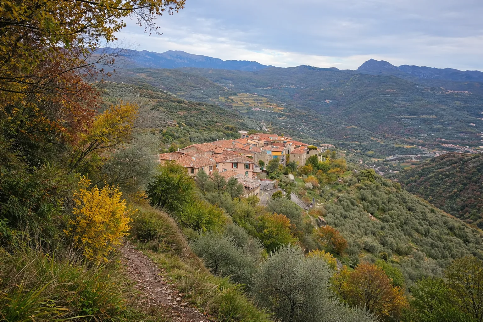
The Torre d'Ubaga Loop reaches the remains of a medieval watchtower positioned to control the Melogno road, an ancient link between the Ligurian coast and lower Piedmont. The trail climbs from Bormida through chestnut and beech woods with moderate but steady gradients, reaching the tower at around 800 metres. The 13th-century structure was part of the Del Carretto defensive system and now provides a panoramic vantage point over the valley below. The loop returns via a different slope, passing ancient charcoal-burning clearings and dry-stone walls that once terraced the hillside for chestnut cultivation. In spring the area is rich in primroses and violets, while summer brings butterflies to the sunny clearings. The descent follows a steeper path through sandstone outcrops. Hikeable from March to November
Gallery
Navigate with QR Code
Scan with your smartphone to start guided navigation directly on the trail.
Trail QR Code
Frame the QR code to open the full navigation

Partenza
Km 0.00
Accessibility for People with Disabilities
Il livello di accessibilità è dichiarato dall'ente che gestisce il percorso. Se trovi una difformità, segnalacela: la correggiamo insieme al Comune.
Scarponi da trekking, bastoncini, acqua 1.5L, giacca a vento, snack
For additional information, contact the local tourist office or the reference shelter for the trail.
44,04003, 7,97652

