Install TRAILGO
Quick Free Access
No Subscription
No Subscription
Scansiona per aprire
il percorso sul telefono
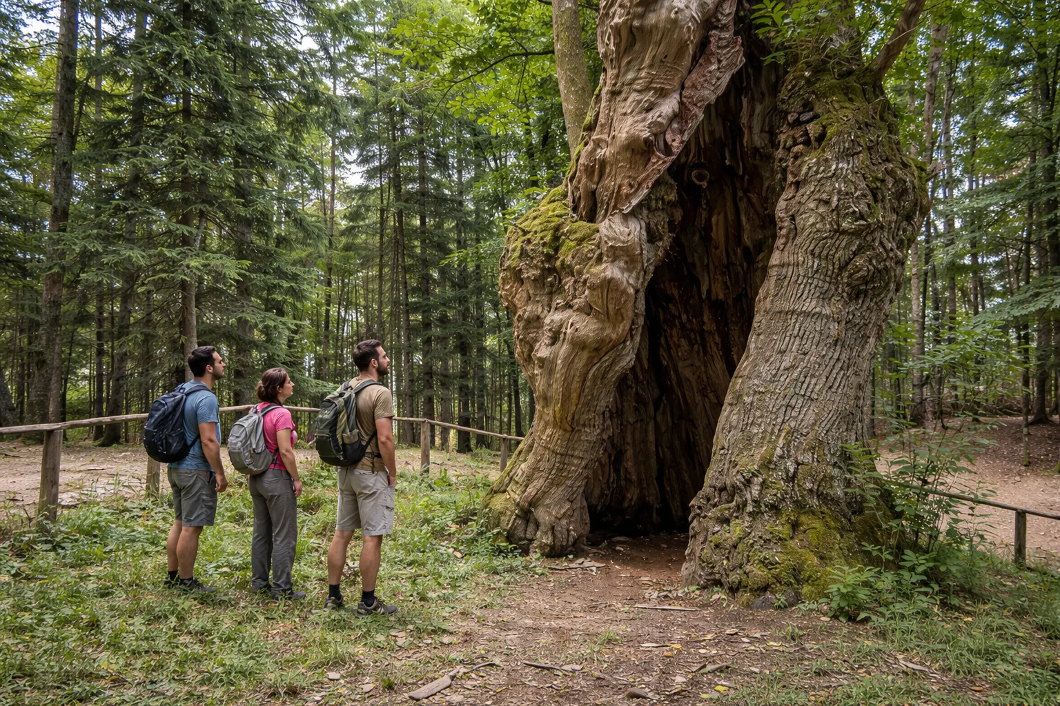
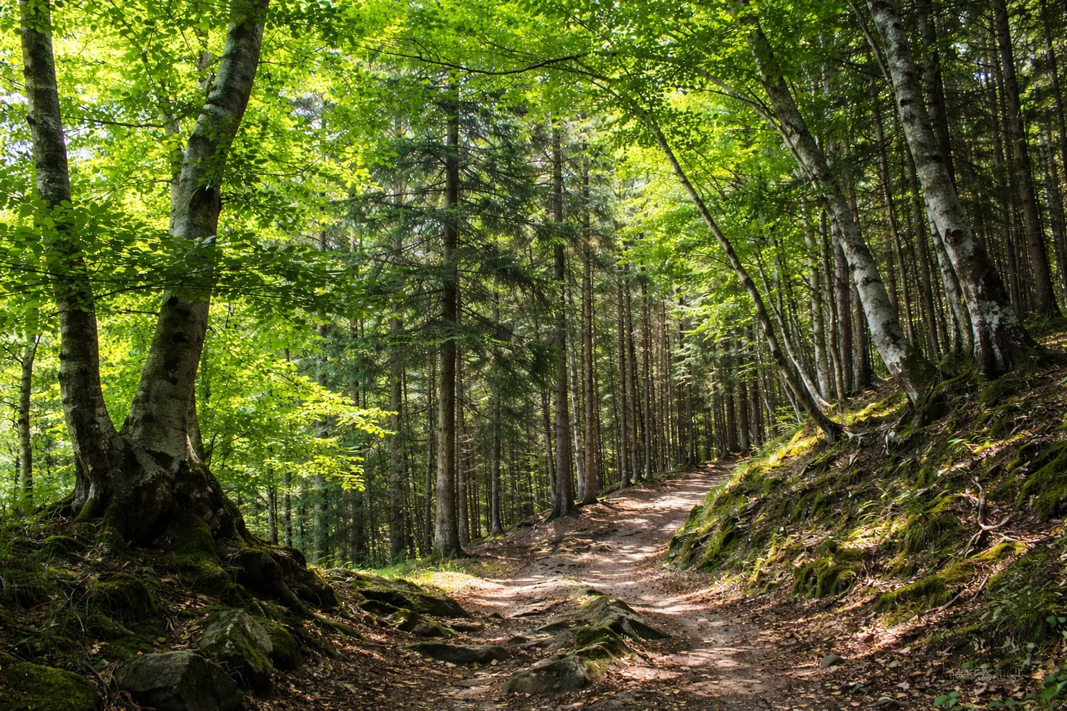
The Camaldoli Nature Trail in the Casentinesi Forests National Park begins in the ancient village of Camaldoli (hermitage, monastery) and is dedicated to trees: from the simplest forms of plant life to forest giants like the monumental Miraglia Chestnut tree. Ideal for those who want to learn about the natural history of the Sacred Forest of the Camaldolesi through an educational itinerary. Technical data: Length 5.4 km, elevation gain 108 m, altitude 825-933 m above sea level, municipality of Poppi (Tuscany), manager: Casentinesi Forests National Park, OSM network: local network, CAI scale: E. Info source: https://www.parcoforestecasentinesi.it/it/vivi-il-parco/sentieri-ed-escursioni/sentieri-e-natura
Trail QR Code
Scan with your smartphone to start guided navigation directly on the trail.
Frame the QR code to open the full navigation
Access the interactive trail navigation with GPS map, points of interest and real-time tracking.
Open Interactive NavigationHiking shoes or comfortable shoes with treaded soles, water, and any personal aids for the disabled; in cooler weather, a windbreaker.
Useful Contacts: For additional information, contact the local tourist office or the reference shelter for the trail.
