Install TRAILGO
Quick Free Access
No Subscription
No Subscription
Scansiona per aprire
il percorso sul telefono
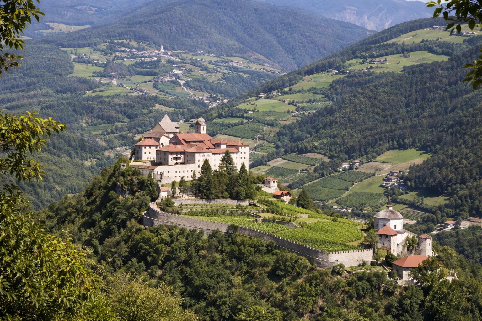
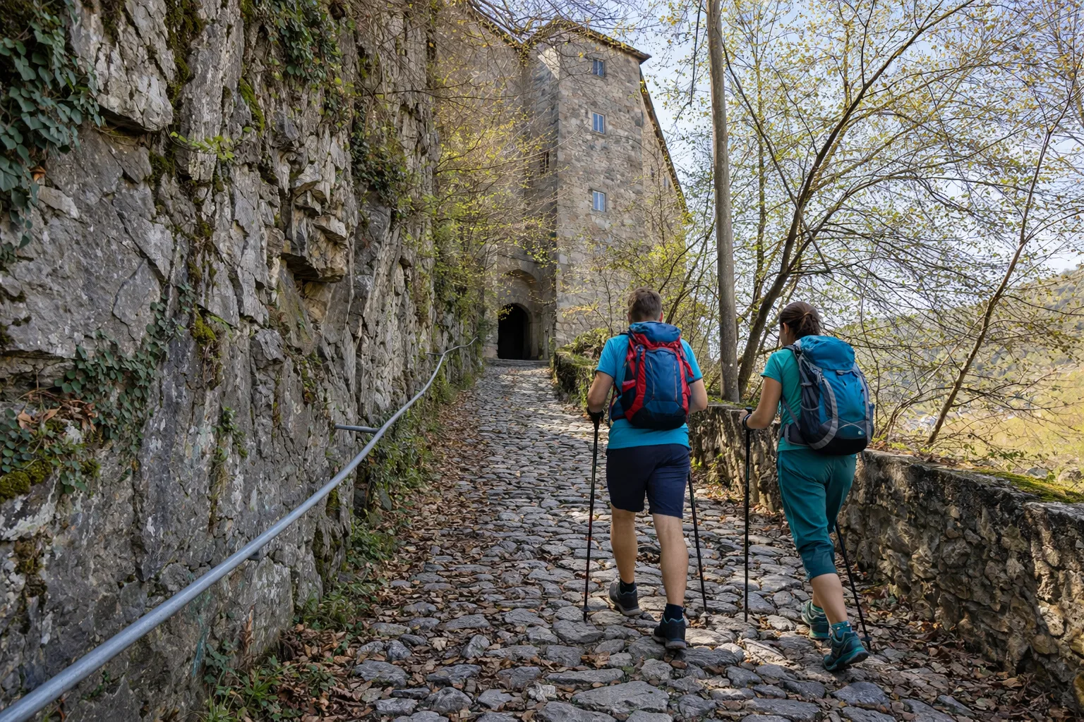
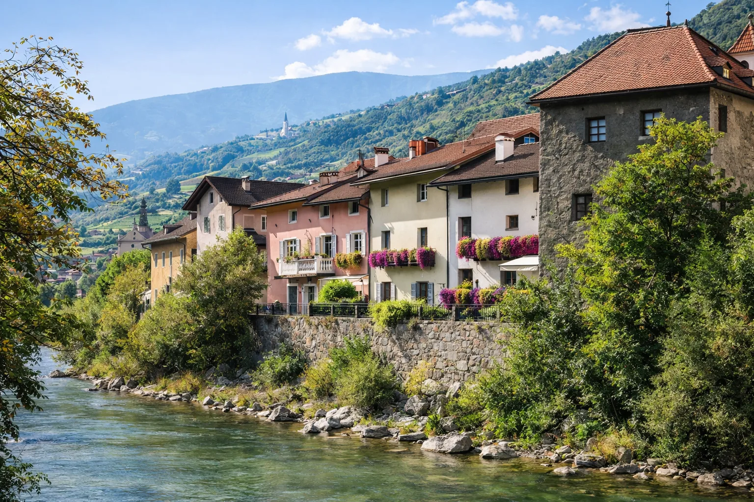
Säbener Promenade - Sabiona Promenade: a historic pilgrimage trail that leads from the center of Chiusa (Klausen) up to Säben Monastery, the "Acropolis of Tyrol." For over three centuries (1687–2021), the monastery was Benedictine, and since 2024, it has been under religious rule again, with the Cistercian monks of Heiligenkreuz Abbey. The ascent takes place through the forest on the steep slopes of the Säben cliff, about 40 minutes from the historic center. Technical data: Length 1.9 km, elevation gain 119 m, elevation 552–671 m above sea level, municipality of Chiusa (Trentino-Alto Adige), OSM network: local network. Info source: https://www.klausen.it/en/enjoyment-region/klausen/sights/saeben-monastery.html
Trail QR Code
Scan with your smartphone to start guided navigation directly on the trail.
Frame the QR code to open the full navigation
Access the interactive trail navigation with GPS map, points of interest and real-time tracking.
Open Interactive NavigationHiking shoes or comfortable shoes with treaded soles, water, and any personal aids for the disabled; in cooler weather, a windbreaker.
Useful Contacts: For additional information, contact the local tourist office or the reference shelter for the trail.
