Install TRAILGO
Quick Free Access
No Subscription
No Subscription
Scansiona per aprire
il percorso sul telefono
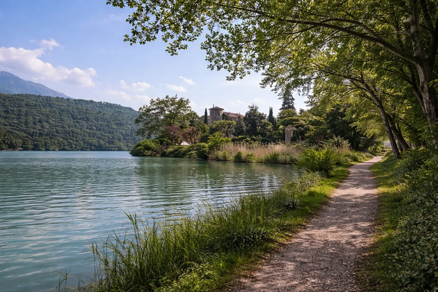
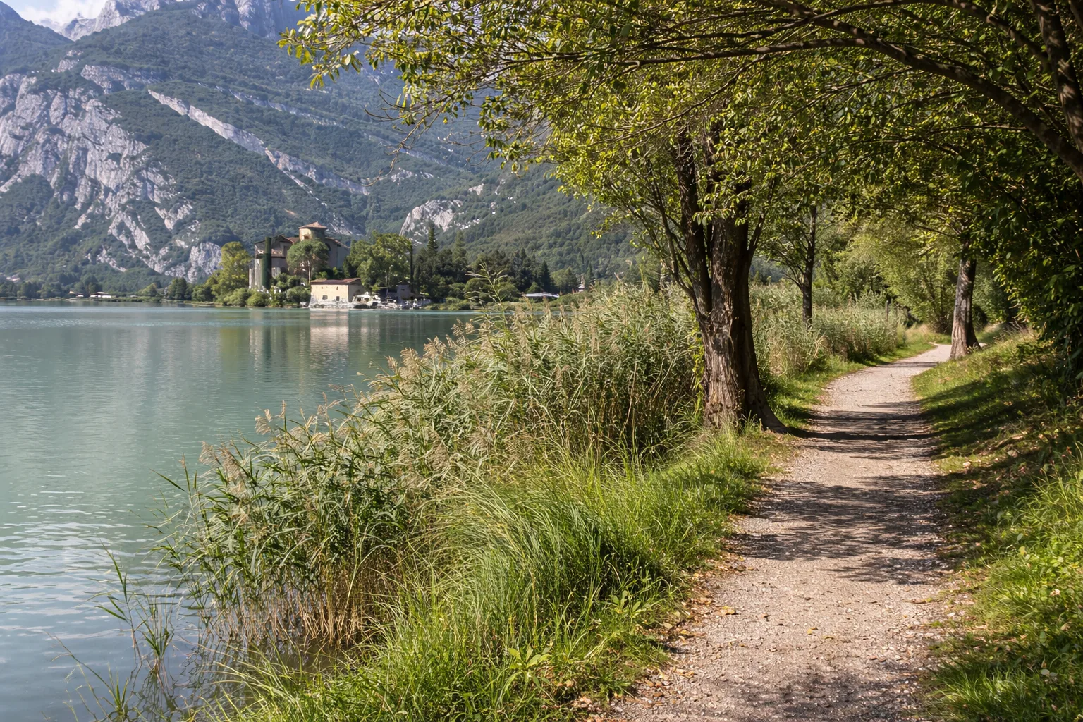
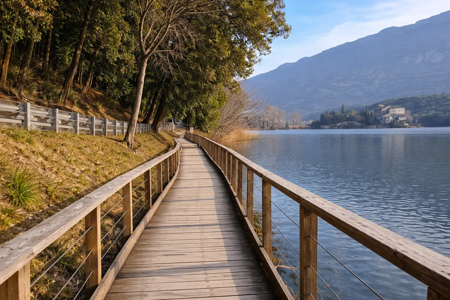
Calavino hike in the Lake Toblino Nature Reserve, in the Trentino Valley of the Lakes. A circular route through the Nosiola vineyards between Lake Santa Massenza, Lake Toblino, and the villages of Sarche, Calavino, and Padergnone, with views of Toblino Castle. Panels on local flora and fauna. Calavino has a historic center with buildings from the era of the prince-bishops of Madruzzo. Optimal season: May or late summer for the ripening of the Nosiola grapes. Technical data: Length 3.4 km, elevation gain 114 m, elevation 421-535 m above sea level, municipality of Madruzzo (Trentino-Alto Adige), OSM network: local network. Info source: https://www.trentino.com/en/leisure-activities/mountains-and-hiking/hiking-in-spring/from-lake-toblino-to-calavino/
Trail QR Code
Scan with your smartphone to start guided navigation directly on the trail.
Frame the QR code to open the full navigation
Access the interactive trail navigation with GPS map, points of interest and real-time tracking.
Open Interactive NavigationHiking shoes or comfortable shoes with treaded soles, water, and any personal aids for the disabled; in cooler weather, a windbreaker.
Useful Contacts: For additional information, contact the local tourist office or the reference shelter for the trail.
