
 T
Accessible
T
Accessible
Trail Map
Il tracciato completo con i punti di interesse. Puoi cambiare il tipo di mappa dal comando in alto a destra e attivare rifugi, fontane e parcheggi dal pannello a sinistra.
Elevation Profile
Description
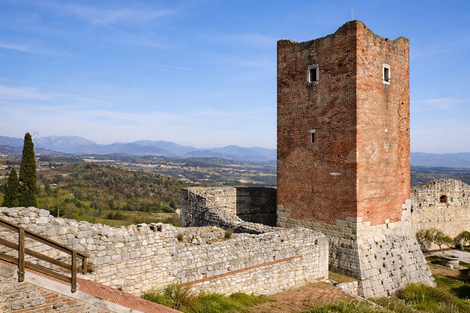
Itinerary No. 10 - Nature Trail to the Castles of Romeo and Juliet in Montecchio Maggiore. It begins at the Church of San Pietro in the eastern part of the town and winds in a circular path. The first section is the Monte Nero nature trail, a basalt formation with six information stations explaining this volcanic slope, which has become internationally renowned for the perfect crystallizations hidden in the fissures of the volcanic rock. It leads to the Fontana della Nova, one of the oldest in the area, mentioned as early as 1540. The castles that dominate the area inspired Shakespeare's Romeo and Juliet. Technical data: Length 4.0 km, elevation gain 107 m, elevation 129-236 m above sea level, Municipality of Montecchio Maggiore (Veneto), Manager: Municipality of Montecchio Maggiore, OSM network: local network, trail code: 10. Info source: https://www.prolocoaltemontecchio.it/cosa-vedere/percorsi/naturalistici/
Gallery
Navigate with QR Code
Scan with your smartphone to start guided navigation directly on the trail.
Trail QR Code
Frame the QR code to open the full navigation

Partenza
Km 0.00
Accessibility for People with Disabilities
Il livello di accessibilità è dichiarato dall'ente che gestisce il percorso. Se trovi una difformità, segnalacela: la correggiamo insieme al Comune.
Hiking shoes or comfortable shoes with treaded soles, water, and any personal aids for the disabled; in cooler weather, a windbreaker.
For additional information, contact the local tourist office or the reference shelter for the trail.
45,51181, 11,40885

