Install TRAILGO
Quick Free Access
No Subscription
No Subscription
Scansiona per aprire
il percorso sul telefono
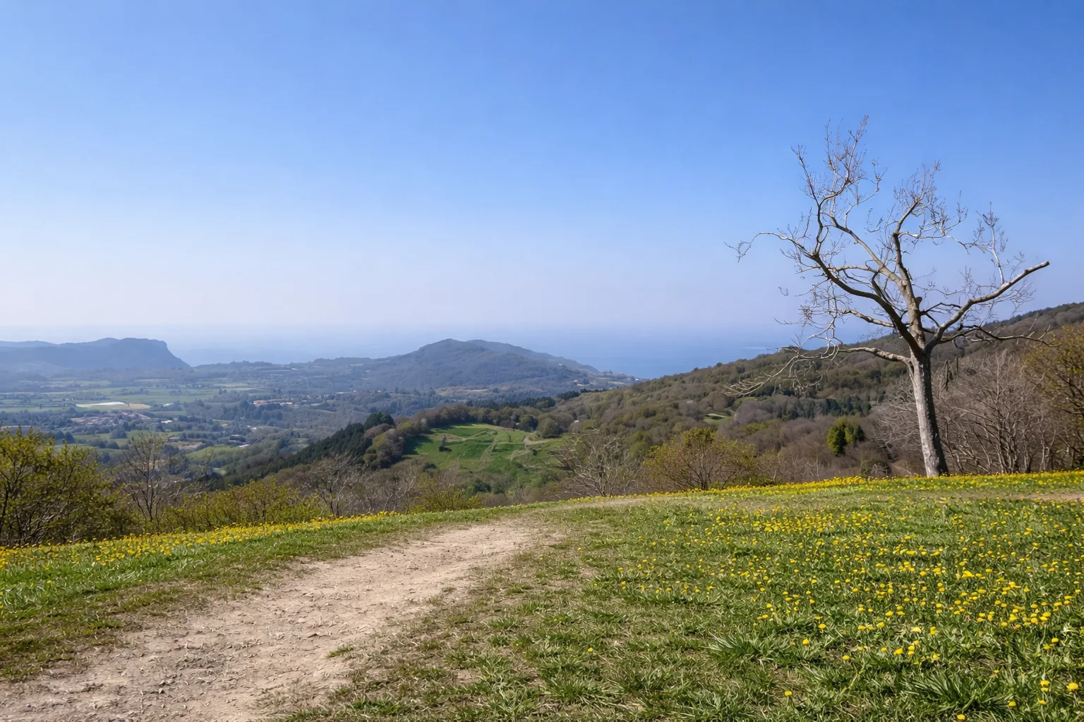
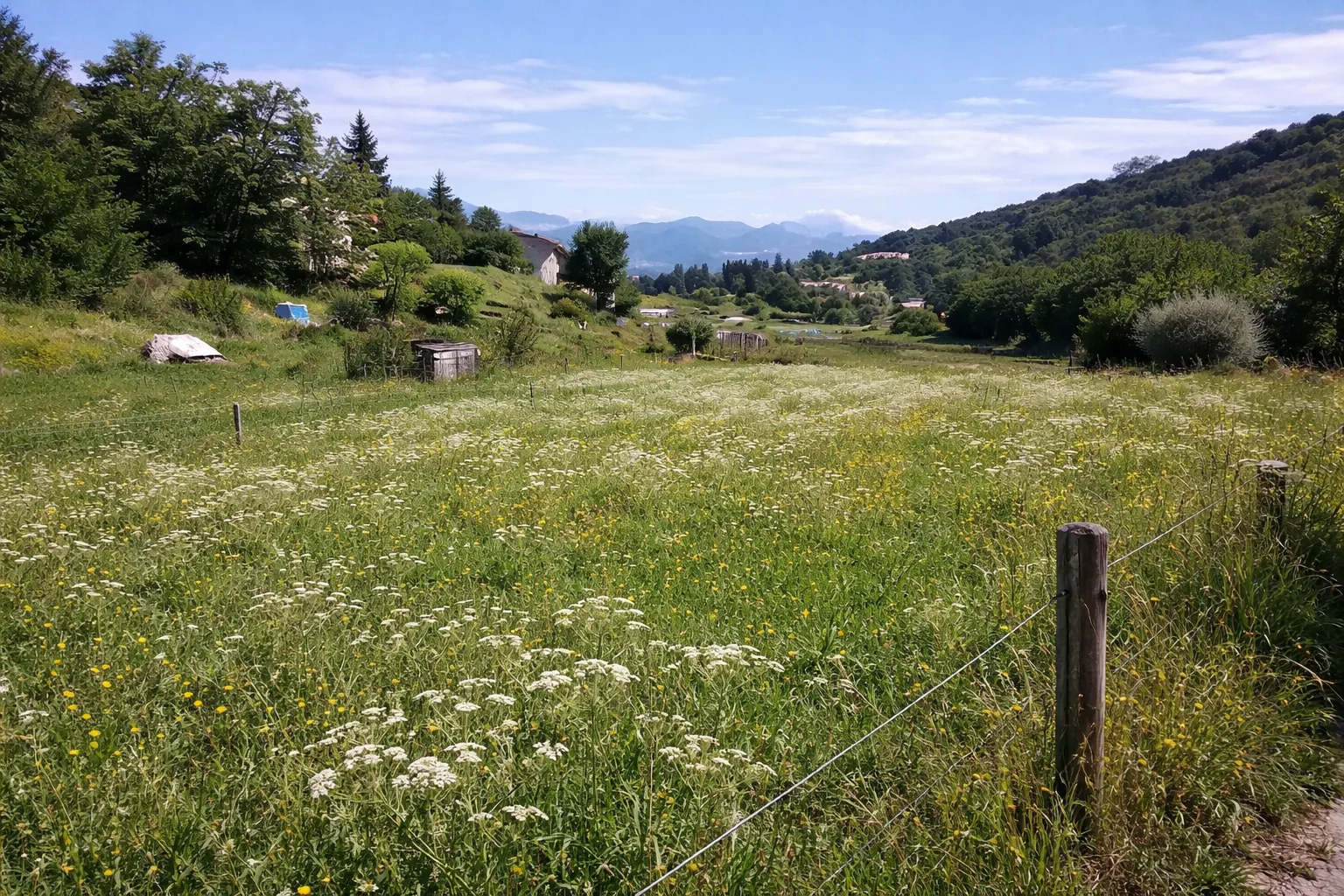
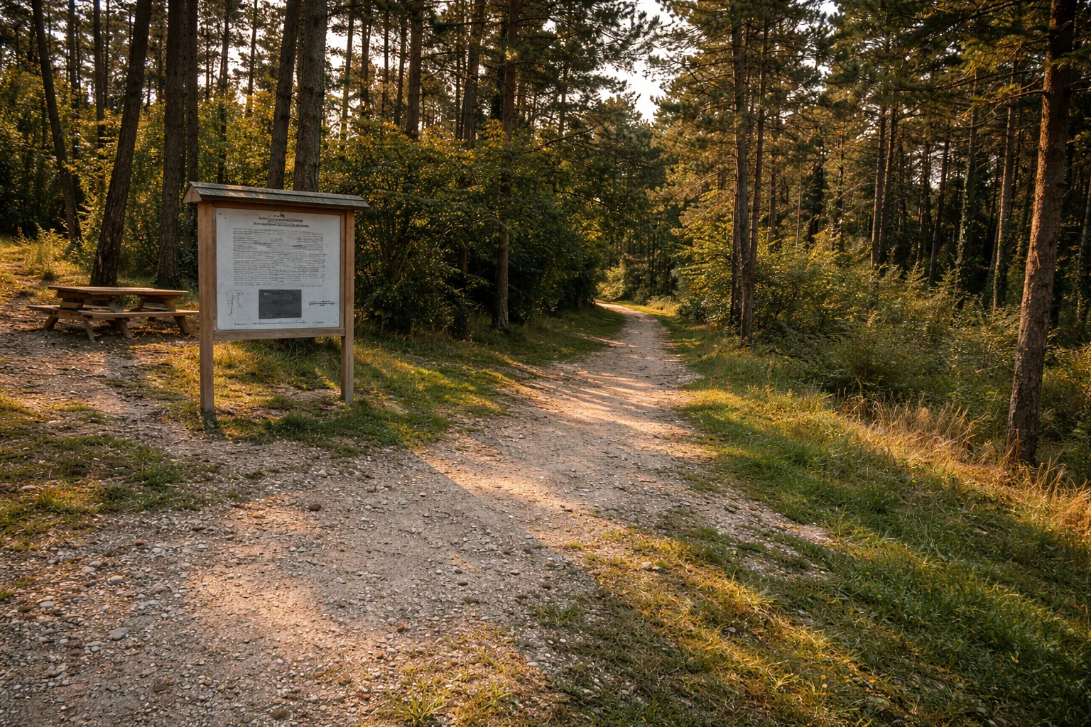
Nature Trail in the Sperane Pine Forest in San Zeno di Montagna, on the slopes of Monte Baldo. A shaded path through the upper part of the park with two variants, a higher one that passes Le Fittanze and a lower one that runs parallel. Panels describing the native flora and fauna. Equipped picnic areas. The Sperane Pine Forest is managed by Jungle Park Adventure and is the gateway to the lower slopes of Monte Baldo. Technical data: Length 3.8 km, elevation gain 123 m, elevation 663-786 m above sea level, municipality of San Zeno di Montagna (Veneto), OSM network: local network. Info source: https://visitsanzenodimontagna.com/en/outdoor/percorsi-nordic-walking/percorso-pineta-sperane/
45.62645, 10.74047
<p>vcxvcxv</p>
Trail QR Code
Scan with your smartphone to start guided navigation directly on the trail.
Frame the QR code to open the full navigation
Access the interactive trail navigation with GPS map, points of interest and real-time tracking.
Open Interactive NavigationHiking shoes or comfortable shoes with treaded soles, water, and any personal aids for the disabled; in cooler weather, a windbreaker.
Useful Contacts: For additional information, contact the local tourist office or the reference shelter for the trail.
