
 T
T
Trail Map
Il tracciato completo con i punti di interesse. Puoi cambiare il tipo di mappa dal comando in alto a destra e attivare rifugi, fontane e parcheggi dal pannello a sinistra.
Elevation Profile
Description
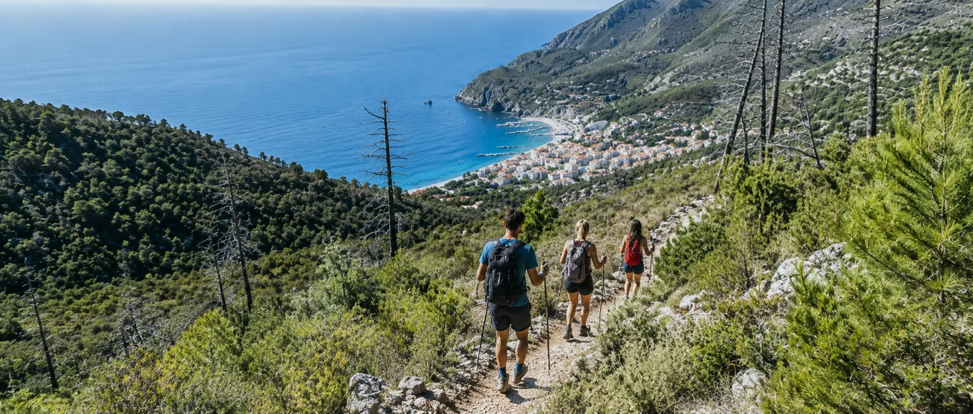
From Levanto to Monterosso: the path to the Cinque Terre This route connects Levanto to Monterosso, covering approximately 7 km and taking an average of three hours, though it's significantly easier for those in good shape. The elevation gain is around 400 meters, both uphill and downhill, but the overall difficulty remains moderate: it's a route suitable for everyone, including families with children. The ideal seasons for this hike are spring and autumn, although the area's particularly mild climate makes it feasible even in the winter months. Those who decide to hike in summer should keep one important detail in mind: there are no fountains or springs along the route, so it's essential to set out with a good supply of water, as well as a hat and sunscreen to protect you from the sun. Finding the starting point is very simple. From the seafront, head east, toward the castle, until you reach the portico of a villa, recognizable by its blue shutters. From there, the clear and well-maintained signage begins, along with a staircase that climbs alongside the castle and the ancient village walls. You then continue along a cobbled mule track that climbs toward the woods, soon turning into a full-fledged trail. From here, the trail winds past some houses and immediately offers picturesque views of Levanto from above. After a short stretch where the path joins the asphalt road, a stairway opens up on the right, leading down to the sea through the Mediterranean scrub: this is where the trail truly comes into its own.
Gallery
Navigate with QR Code
Scan with your smartphone to start guided navigation directly on the trail.
Trail QR Code
Frame the QR code to open the full navigation

Partenza
Km 0.00
For additional information, contact the local tourist office or the reference shelter for the trail.
44,17605, 9,61847

