
 E
Not accessible
E
Not accessible
Trail Map
Il tracciato completo con i punti di interesse. Puoi cambiare il tipo di mappa dal comando in alto a destra e attivare rifugi, fontane e parcheggi dal pannello a sinistra.
Elevation Profile
Description
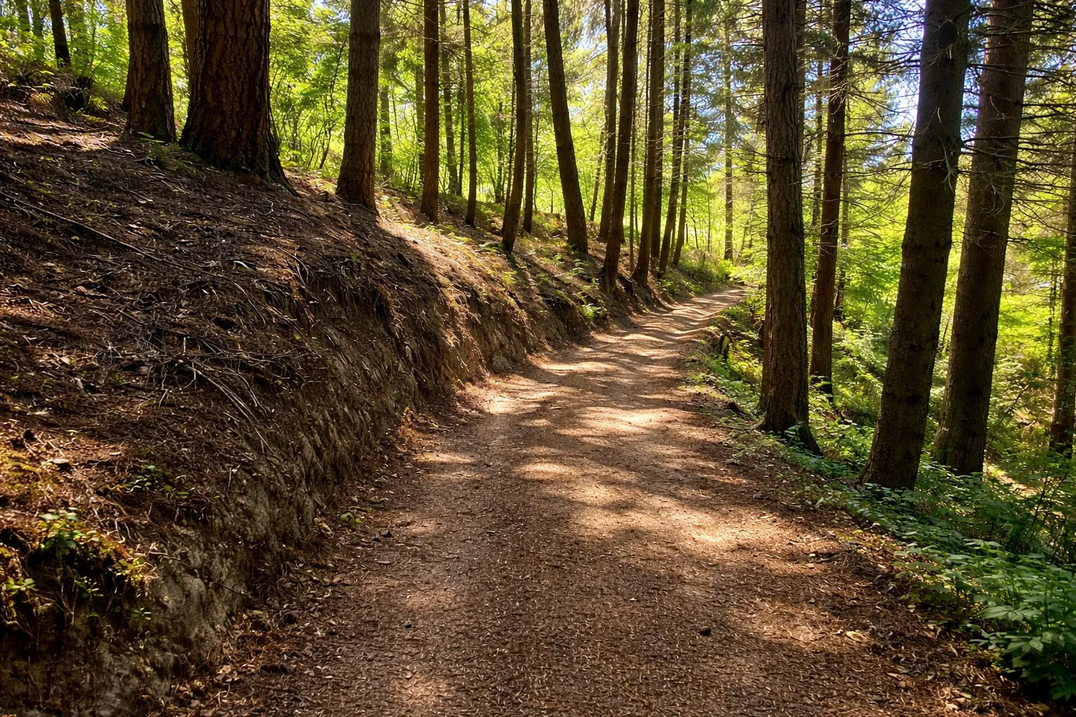
The Rio Nero Nature Trail follows the course of its namesake stream through the wooded valley above Calizzano, an unspoilt environment where dark-coloured water — hence the name — flows over a bed of iron-rich schist rocks. The loop trail starts from the Mereta area and climbs the valley through mixed beech, oak and hornbeam forest, with holly trees whose red berries punctuate the dark winter undergrowth. The stream forms small waterfalls and pools home to the fire salamander, easily spotted on damp days. The area is known to botanists for the red lily and alpine columbine in the higher meadows. Wooden footbridges at stream crossings and nature panels describing aquatic fauna and woodland insects enhance the educational experience. Especially recommended on hot summer days thanks to the constant shade and the cool stream breeze.
Gallery
Navigate with QR Code
Scan with your smartphone to start guided navigation directly on the trail.
Trail QR Code
Frame the QR code to open the full navigation

Partenza
Km 0.00
Accessibility for People with Disabilities
Il livello di accessibilità è dichiarato dall'ente che gestisce il percorso. Se trovi una difformità, segnalacela: la correggiamo insieme al Comune.
Scarponi da trekking, bastoncini, acqua 1L, giacca leggera, snack
For additional information, contact the local tourist office or the reference shelter for the trail.
44,22163, 8,10582

