
 E
Not accessible
E
Not accessible
Trail Map
Il tracciato completo con i punti di interesse. Puoi cambiare il tipo di mappa dal comando in alto a destra e attivare rifugi, fontane e parcheggi dal pannello a sinistra.
Elevation Profile
Description
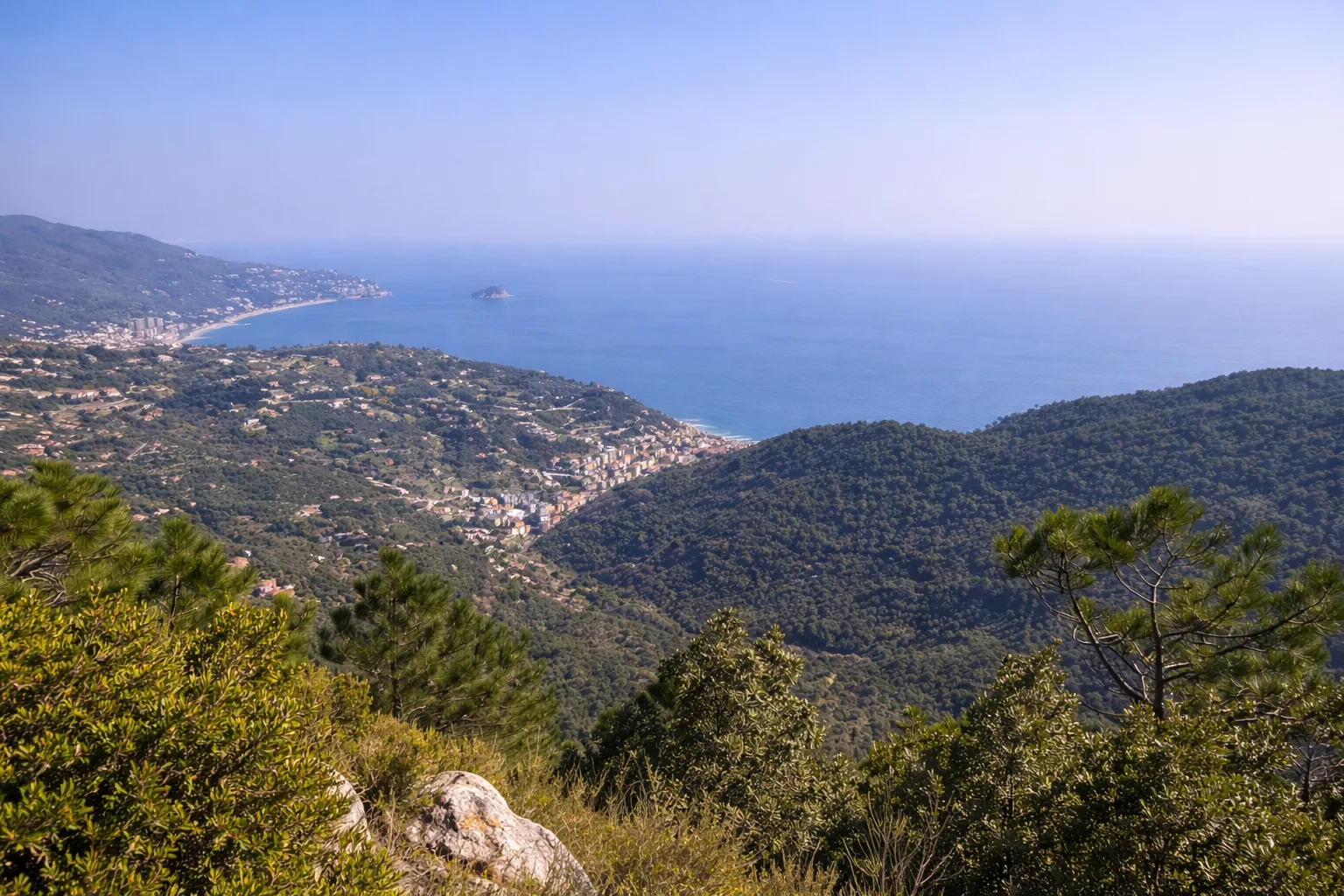
This loop trail starts from the historic centre of Noli, one of Italy's four minor maritime republics, and climbs to the castle of the Marquises of Finale through medieval alleyways and olive-grove paths. From the 12th-century fortress perched on a rocky spur above the sea, views stretch from Capo Noli to the tip of Bergeggi. The trail continues to Bric Groppino (250m), crossing Mediterranean maquis of mastic, myrtle and white cistus. The descent to Voze weaves through abandoned olive terraces colonised by Aleppo pines and fragrant wild rosemary. The return to Noli follows the old coastal road, passing the Romanesque church of San Paragorio, an 11th-century national monument with Byzantine frescoes. In spring, broom and cistus flowers light up the scrubland. Avoid midday in summer due to sun exposure on shadeless stretches.
Gallery
Navigate with QR Code
Scan with your smartphone to start guided navigation directly on the trail.
Trail QR Code
Frame the QR code to open the full navigation

Partenza
Km 0.00
Accessibility for People with Disabilities
Il livello di accessibilità è dichiarato dall'ente che gestisce il percorso. Se trovi una difformità, segnalacela: la correggiamo insieme al Comune.
Scarpe da trekking, cappello, acqua 1.5L, crema solare, snack
For additional information, contact the local tourist office or the reference shelter for the trail.
44,20672, 8,41453

