
 E
Not accessible
E
Not accessible
Trail Map
Il tracciato completo con i punti di interesse. Puoi cambiare il tipo di mappa dal comando in alto a destra e attivare rifugi, fontane e parcheggi dal pannello a sinistra.
Elevation Profile
Description
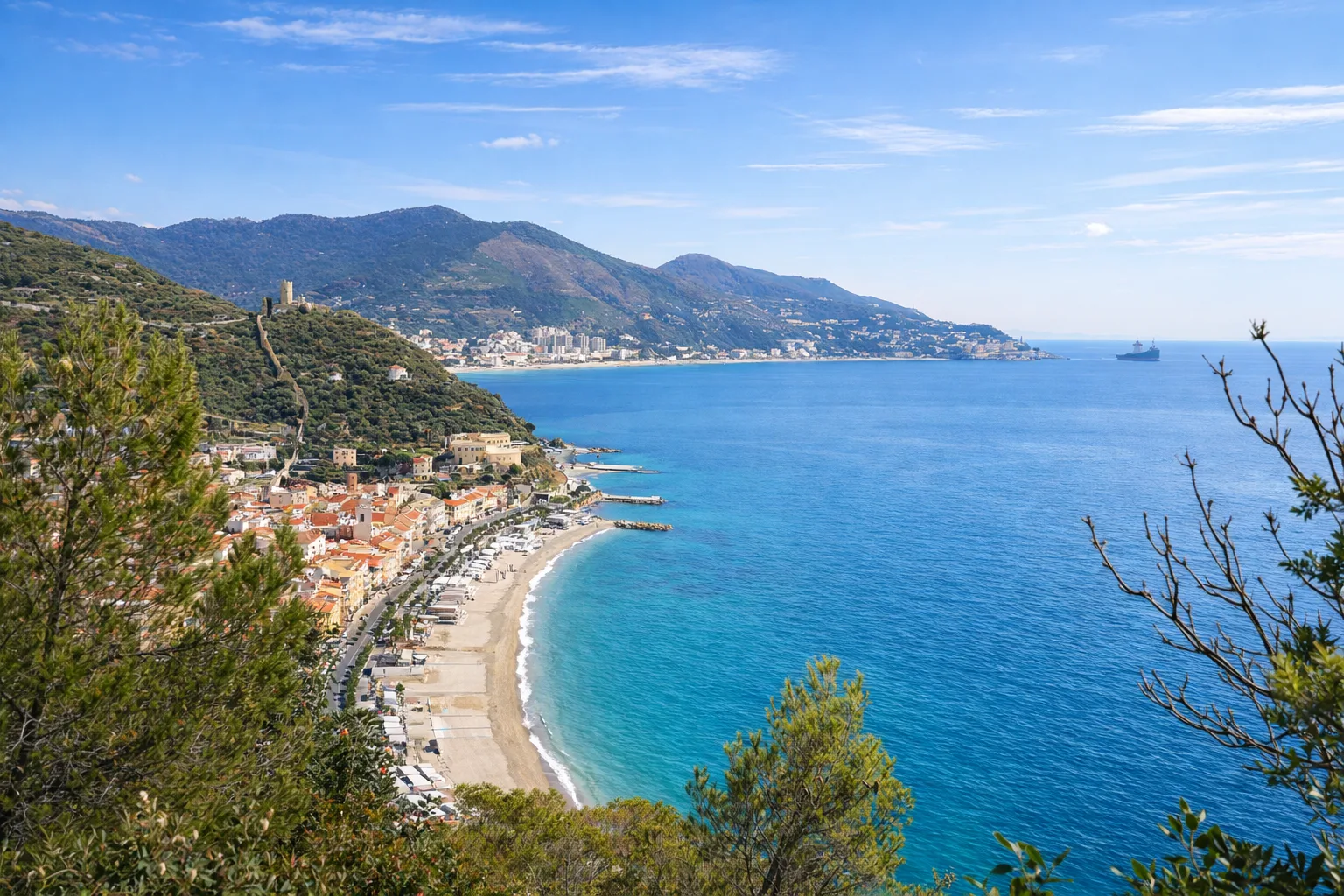
The Sentiero Amico connects the hinterland of Noli to the Manie plateau, crossing a landscape that shifts from coastal Mediterranean scrub to holm oak woodland on a karstic plateau within just a few kilometres. Named for the accessibility philosophy behind its waymarking, it features detailed information boards and well-equipped rest stops. Starting from sea level, the trail climbs via switchbacks through woodland to the 255-metre Manie plateau, a Miocene limestone formation where caves and sinkholes sheltered prehistoric settlements — the oldest remains date to the Middle Palaeolithic. The vegetation includes holm oak, strawberry tree and phillyrea on south-facing slopes, with tree heather and cyclamens on shadier stretches. Sea glimpses flash through the foliage. Recommended in spring for wildflower blooms and in autumn for the undergrowth colours.
Gallery
Navigate with QR Code
Scan with your smartphone to start guided navigation directly on the trail.
Trail QR Code
Frame the QR code to open the full navigation

Partenza
Km 0.00
Accessibility for People with Disabilities
Il livello di accessibilità è dichiarato dall'ente che gestisce il percorso. Se trovi una difformità, segnalacela: la correggiamo insieme al Comune.
Scarponi da trekking, acqua 1.5L, cappello, crema solare, snack
For additional information, contact the local tourist office or the reference shelter for the trail.
44,19741, 8,41016

