
 E
Not accessible
E
Not accessible
Trail Map
Il tracciato completo con i punti di interesse. Puoi cambiare il tipo di mappa dal comando in alto a destra e attivare rifugi, fontane e parcheggi dal pannello a sinistra.
Elevation Profile
Description
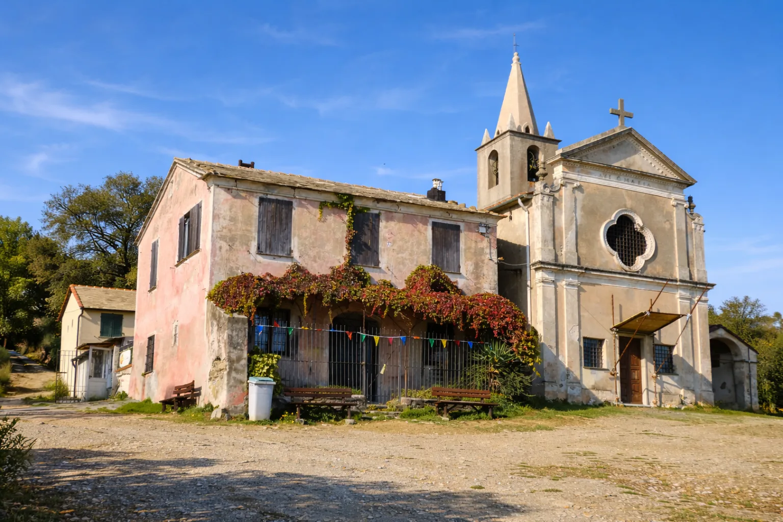
The trail from Varazze to Croce di Castagnabuona climbs from the ancient Ligurian port — where 13th-century shipyards built galleys for Genoa — into the hinterland hills through the hamlet of Castagnabuona, whose name reveals the area's chestnut heritage. The route alternates Genoese creuze, the characteristic brick-and-cobble mule tracks, with woodland paths through mixed chestnut and maritime pine. The ascent crosses abandoned terraces where dry-stone walls are colonised by capers and red valerian. The highest point, Croce di Castagnabuona (293m), commands a coastal panorama reaching as far as Corsica on clear days. The return follows a parallel trail descending through a cool gully rich in ferns and mosses. Wild boar are common — look for their rootings along the trail edges. Hikeable nearly year-round, avoiding only days of heavy rain due to clay sections.
Gallery
Navigate with QR Code
Scan with your smartphone to start guided navigation directly on the trail.
Trail QR Code
Frame the QR code to open the full navigation

Partenza
Km 0.00
Accessibility for People with Disabilities
Il livello di accessibilità è dichiarato dall'ente che gestisce il percorso. Se trovi una difformità, segnalacela: la correggiamo insieme al Comune.
Scarponi da trekking, bastoncini, acqua 1.5L, cappello, crema solare, snack
For additional information, contact the local tourist office or the reference shelter for the trail.
44,35544, 8,56493

