
 E
Not accessible
E
Not accessible
Trail Map
Il tracciato completo con i punti di interesse. Puoi cambiare il tipo di mappa dal comando in alto a destra e attivare rifugi, fontane e parcheggi dal pannello a sinistra.
Elevation Profile
Description
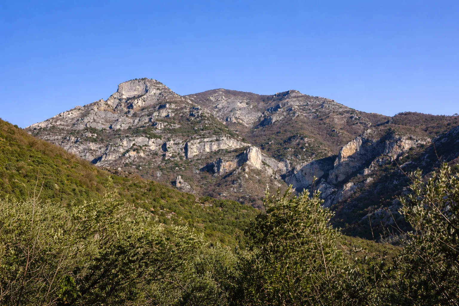
The trail from Toirano to Ca' dei Prati climbs from the medieval village famous for its prehistoric caves — where 12,000-year-old human footprints are preserved — towards the western hinterland heights. Starting from the village square, the path rises steeply through terraced olive groves and mastic scrub, gaining over 450 metres of elevation in a short distance. Holm oak and downy oak forest on the slope is home to jays, whose hoarse calls accompany the ascent. Ca' dei Prati is an abandoned alpine pasture at around 524 metres where the walls of a pastoral hamlet with fountain still stand. From here views open to the Albenga plain and the coast as far as Capo Mele. Return via the same route or an alternative trail down the opposite slope. Short but steep, ideal from March to November in the cool morning hours.
Gallery
Navigate with QR Code
Scan with your smartphone to start guided navigation directly on the trail.
Trail QR Code
Frame the QR code to open the full navigation

Partenza
Km 0.00
Accessibility for People with Disabilities
Pendenza sostenuta nel primo tratto
Il livello di accessibilità è dichiarato dall'ente che gestisce il percorso. Se trovi una difformità, segnalacela: la correggiamo insieme al Comune.
Scarponi da trekking, bastoncini, acqua 1.5L, cappello, snack
For additional information, contact the local tourist office or the reference shelter for the trail.
44,13061, 8,20851

