
 EE
Not accessible
EE
Not accessible
Trail Map
Il tracciato completo con i punti di interesse. Puoi cambiare il tipo di mappa dal comando in alto a destra e attivare rifugi, fontane e parcheggi dal pannello a sinistra.
Elevation Profile
Description
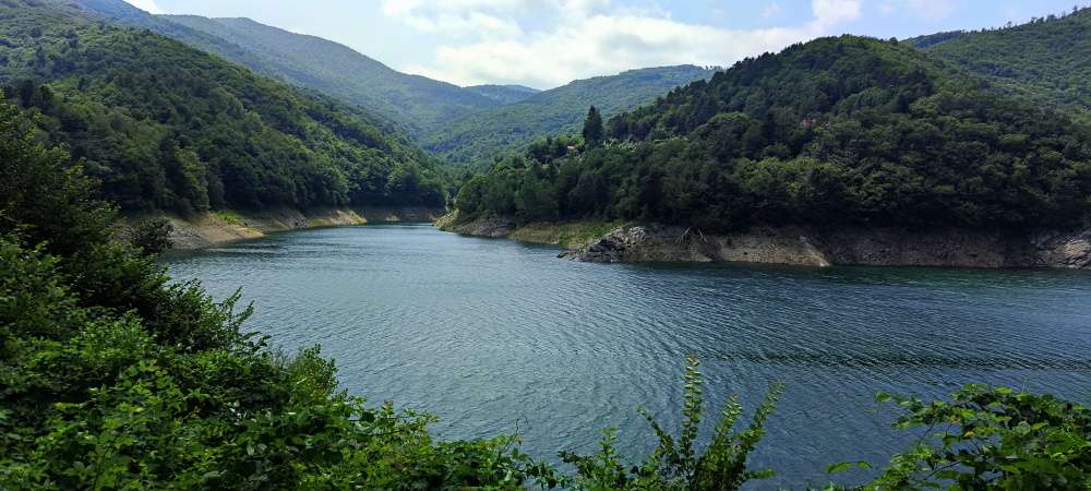
The trail from Osiglia to Rocca dei Francesi is a demanding route from the shore of Lago di Osiglia — Liguria's largest reservoir, built in 1939 for water supply — through the hamlet of Colletta to a rocky ridge at 1,277 metres. The route crosses three distinct vegetation zones: valley-floor chestnut groves, mature beech forest between 900 and 1,100 metres, and summit grasslands with dwarf juniper. Rocca dei Francesi owes its name to Napoleonic troops who used it as an observation point during the 1795 battles. From the top, views stretch from the sea at Spotorno to the Alpine chain including Monviso and Monte Rosa on the clearest days. Total elevation gain exceeds 600 metres with steep sections near the summit. Recommended only for experienced hikers, from July to October, starting early to avoid summer afternoon storms.
Gallery
Navigate with QR Code
Scan with your smartphone to start guided navigation directly on the trail.
Trail QR Code
Frame the QR code to open the full navigation

Partenza
Km 0.00
Accessibility for People with Disabilities
Tratti ripidi nel finale, cresta esposta
Il livello di accessibilità è dichiarato dall'ente che gestisce il percorso. Se trovi una difformità, segnalacela: la correggiamo insieme al Comune.
Scarponi alti da montagna, bastoncini telescopici, acqua 2L, giacca tecnica, kit primo soccorso, torcia frontale, mappa, pranzo al sacco
For additional information, contact the local tourist office or the reference shelter for the trail.
44,27686, 8,19892

