
Bardineto to Conca dei Carbonari and Bric Agnellino
Bardineto (SV) · Liguria
 EE
Not accessible
EE
Not accessible
Trail Map
Il tracciato completo con i punti di interesse. Puoi cambiare il tipo di mappa dal comando in alto a destra e attivare rifugi, fontane e parcheggi dal pannello a sinistra.
Elevation Profile
Description
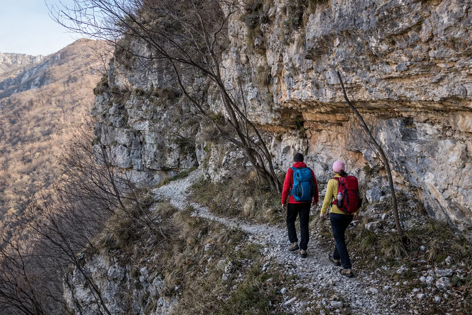
The trail from Bardineto to Conca dei Carbonari and Bric Agnellino is a long loop exploring the upper Val Bormida, reaching a maximum altitude of 1,315 metres. Starting from Bardineto (725m), a village known for its Peasant Civilisation Museum, the route plunges straight into dense Apennine beech forest. The name Conca dei Carbonari recalls the charcoal burners who for centuries produced charcoal in these forests — their blackened circular platforms are still visible on the ground. Bric Agnellino offers an open panorama across the western Alpine arc and the coast. The route is long with significant cumulative elevation gain (over 1,600 metres up and down), requiring fitness and good navigation skills. The flora includes bilberry at higher elevations and martagon lily in cool clearings. In autumn the beech forest transforms into a kaleidoscope of reds and oranges. For experienced hikers only, recommended from June to October with a dawn start.
Gallery
Navigate with QR Code
Scan with your smartphone to start guided navigation directly on the trail.
Trail QR Code
Frame the QR code to open the full navigation

Partenza
Km 0.00
Accessibility for People with Disabilities
Percorso lungo con orientamento necessario
Il livello di accessibilità è dichiarato dall'ente che gestisce il percorso. Se trovi una difformità, segnalacela: la correggiamo insieme al Comune.
Scarponi alti da montagna, bastoncini telescopici, acqua 2L, giacca tecnica, kit primo soccorso, torcia frontale, mappa e bussola, pranzo al sacco, snack energetici
For additional information, contact the local tourist office or the reference shelter for the trail.
44,19683, 8,14012

