
 E
Non accessible
E
Non accessible
Carte du Parcours
Il tracciato completo con i punti di interesse. Puoi cambiare il tipo di mappa dal comando in alto a destra e attivare rifugi, fontane e parcheggi dal pannello a sinistra.
Profil Altimétrique
Description
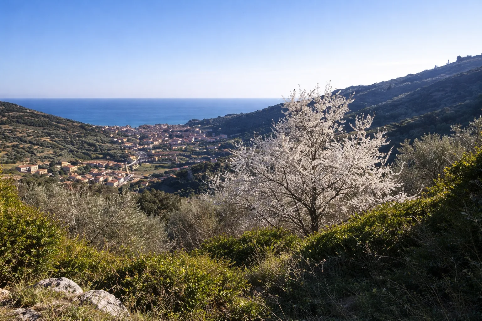
Le sentier de Calvisio à Camporotondo relie deux hameaux de Finale Ligure à travers le paysage typique du Finalese : falaises de calcaire miocène rosé, maquis méditerranéen et oliviers en terrasses. Le départ de Calvisio, minuscule hameau perché sur un éperon à 18 mètres au-dessus du niveau de la mer, offre d'emblée une vue sur la baie de Varigotti. Le parcours monte le long des murs caractéristiques en pierre rose de Finale — la Pietra di Finale, une calcarénite utilisée depuis l'époque romaine. Le bois mixte de pin d'Alep et chêne vert offre un abri contre le soleil estival. Camporotondo, à 311 mètres, est un petit replat utilisé historiquement comme halte par les bergers migrant entre côte et montagne. La zone est aussi connue des grimpeurs pour ses parois calcaires proches. Le retour emprunte un sentier différent descendant à travers une garrigue parfumée de thym et lavande sauvages. Idéal de mars à novembre, très fréquenté les week-ends printaniers.
Galerie
Naviguer avec le QR Code
Scannez avec votre smartphone pour démarrer la navigation guidée directement sur le sentier.
QR Code Général du Parcours
Cadrez le QR code pour ouvrir la navigation complète

Partenza
Km 0.00
Accessibilité pour Personnes Handicapées
Il livello di accessibilità è dichiarato dall'ente che gestisce il percorso. Se trovi una difformità, segnalacela: la correggiamo insieme al Comune.
Scarponi da trekking, acqua 1.5L, cappello, crema solare, snack
Pour plus d'informations, contactez l'office de tourisme local ou le refuge de référence.
44,18312, 8,35228

