
 E
Not accessible
E
Not accessible
Trail Map
Il tracciato completo con i punti di interesse. Puoi cambiare il tipo di mappa dal comando in alto a destra e attivare rifugi, fontane e parcheggi dal pannello a sinistra.
Elevation Profile
Description
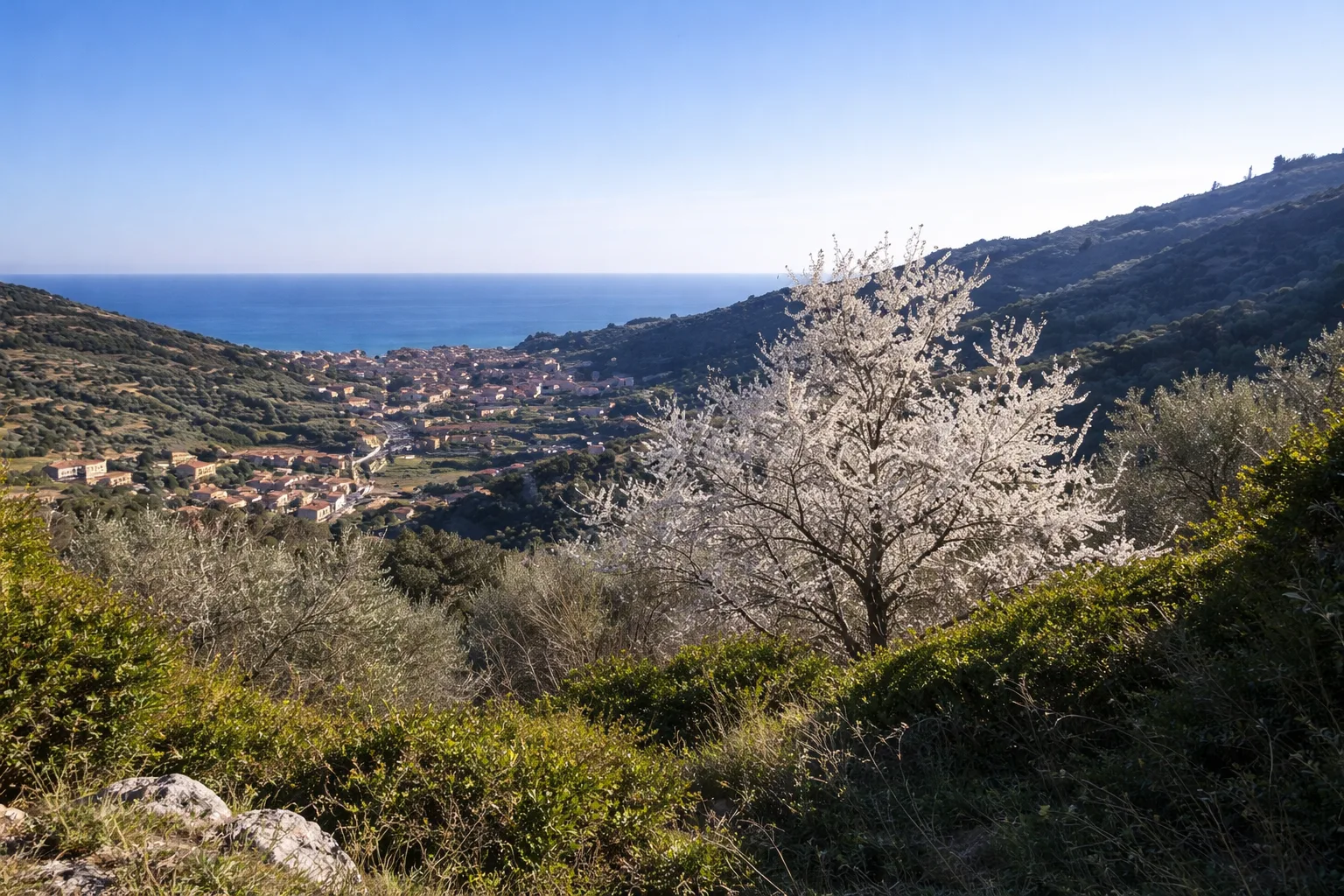
The trail from Calvisio to Camporotondo links two hillside hamlets of Finale Ligure through the distinctive Finalese landscape: pinkish Miocene limestone cliffs, Mediterranean scrub and terraced olive groves. Starting from Calvisio, a tiny hamlet perched on a spur 18 metres above sea level, the view opens immediately over the bay of Varigotti. The route climbs past the characteristic pink stone walls of Finale — the Pietra di Finale, a calcarenite used since Roman times for buildings and sculpture. Mixed Aleppo pine and holm oak woodland offers shelter from the summer sun. Camporotondo, at 311 metres, is a small plateau historically used as a resting area by shepherds migrating between coast and mountain. The area is also well-known to climbers for its nearby limestone walls. The return follows a different trail descending through garigue fragrant with wild thyme and lavender. Ideal from March to November, popular on spring weekends.
Gallery
Navigate with QR Code
Scan with your smartphone to start guided navigation directly on the trail.
Trail QR Code
Frame the QR code to open the full navigation

Partenza
Km 0.00
Accessibility for People with Disabilities
Il livello di accessibilità è dichiarato dall'ente che gestisce il percorso. Se trovi una difformità, segnalacela: la correggiamo insieme al Comune.
Scarponi da trekking, acqua 1.5L, cappello, crema solare, snack
For additional information, contact the local tourist office or the reference shelter for the trail.
44,18312, 8,35228

