
 E
E
Trail Map
Il tracciato completo con i punti di interesse. Puoi cambiare il tipo di mappa dal comando in alto a destra e attivare rifugi, fontane e parcheggi dal pannello a sinistra.
Elevation Profile
Description
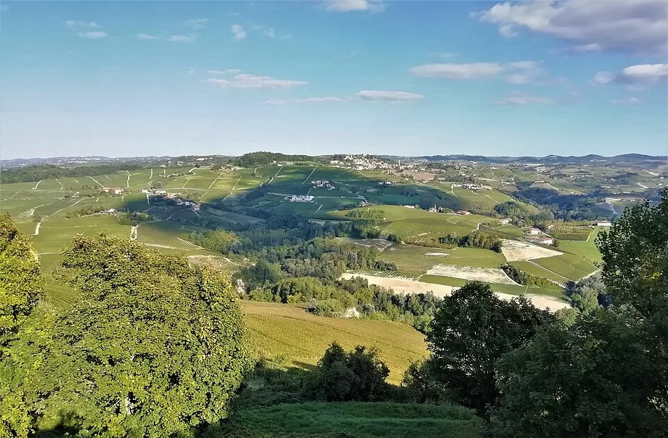
The route begins in the village of Novello, perched on the ridge between the Tanaro and Talloria valleys, and winds through the classified Barolo and Barbaresco vineyards, which in 2014 received UNESCO recognition as the Langhe-Roero and Monferrato Viticultural Landscape. The route alternates between dirt tracks between the vine rows and through woods of downy oak and hop hornbeam that separate the rural hamlets. Along the way, you pass through the hamlets of Bergera and Rivalta, where the Langhe stone farmhouses with their characteristic slate roofs bear witness to a rural architecture that has remained virtually unchanged since the 18th century. From the ridge above Ravera, at about 500 meters above sea level, the view opens up to the Alpine chain from Monviso to the Ligurian Alps. It is recommended to split the route into two legs given its overall length.
Navigate with QR Code
Scan with your smartphone to start guided navigation directly on the trail.
Trail QR Code
Frame the QR code to open the full navigation

Partenza
Km 0.00
Spring, when the rows of vines sprout and the hills turn deep green, is the ideal time to tackle it.
For additional information, contact the local tourist office or the reference shelter for the trail.
44,63893, 7,93426

