
 T
T
Trail Map
Il tracciato completo con i punti di interesse. Puoi cambiare il tipo di mappa dal comando in alto a destra e attivare rifugi, fontane e parcheggi dal pannello a sinistra.
Elevation Profile
Description
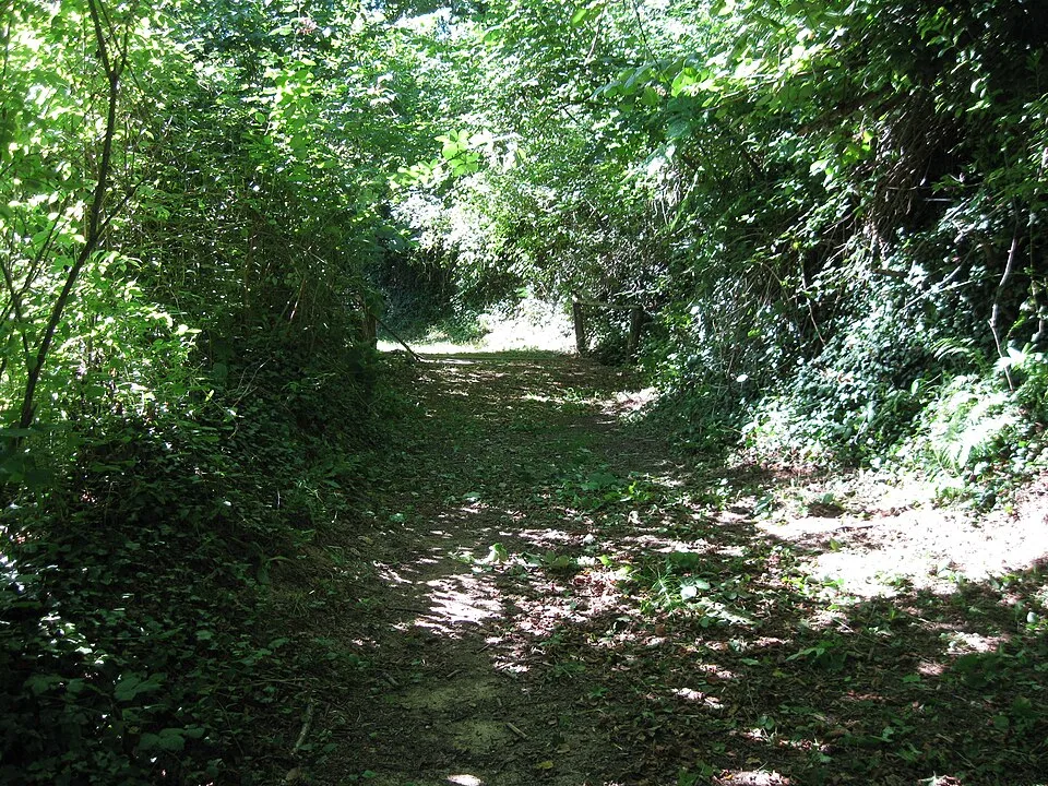
The Truffle Trail connects Alba's historic center to the surrounding hills, where for centuries trifolao (truffle hunters) have combed the oak and poplar forests in search of the prized Tuber magnatum Pico, the Alba white truffle. The route climbs at a moderate gradient along country roads and paths shaded by hazelnut and lime trees, crossing the wooded area that historically served as a gathering place for Alba's farming families. Near the hamlet of Scaparoni, it follows a stretch of the Cherasca River, a small tributary of the Tanaro River, where the moist undergrowth favors the growth of fruit trees. The trail is signposted as part of the Roero and Langhe trail network, and passes through areas where, in autumn, you can encounter hunters with their trained dogs, descendants of a tradition documented at least since the 14th century. The best time to hike is between October and December, during the white truffle season, when the Alba International Truffle Fair also enlivens the city center, just steps from the starting point.
Navigate with QR Code
Scan with your smartphone to start guided navigation directly on the trail.
Trail QR Code
Frame the QR code to open the full navigation

Partenza
Km 0.00
Lightweight hiking shoes, hat, 1L water, sunscreen, snacks
For additional information, contact the local tourist office or the reference shelter for the trail.
44,81213, 7,96532

