
 E
Not accessible
E
Not accessible
Trail Map
Il tracciato completo con i punti di interesse. Puoi cambiare il tipo di mappa dal comando in alto a destra e attivare rifugi, fontane e parcheggi dal pannello a sinistra.
Elevation Profile
Description
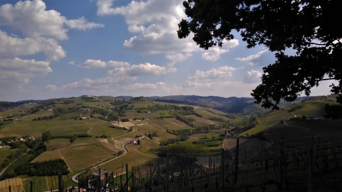
The Sentiero dell'Acino winds through the Barbaresco and Nebbiolo vineyards around Neive, one of the most beautiful villages in Italy according to the Touring Club classification, whose medieval center preserves the 13th-century tower of the Counts of Castelborgo. From the center of town, the route descends between the rows of vines along white roads of calcareous marl, typical of the Langhe hills, and passes through the hamlets of Borgonuovo and Starderi, where historic cellars preserve the oak barrels of Barbaresco DOCG. The route partially follows the Tinella stream, a tributary of the Belbo River, passing through riparian vegetation of willows and alders that contrasts with the orderly geometry of the vineyards. At the Gallina locality, you reach one of the most famous crus of the Barbaresco denomination, officially catalogued since 2007. The best time is autumn, between September and November, when the vineyards light up with the reds and ochres of the harvest and the still mild days allow you to enjoy the views of the Barbaresco Langa all the way to the first snows of the Ligurian Alps.
Navigate with QR Code
Scan with your smartphone to start guided navigation directly on the trail.
Trail QR Code
Frame the QR code to open the full navigation

Partenza
Km 0.00
Accessibility for People with Disabilities
Sentieri sterrati collinari con tratti in pendenza
Il livello di accessibilità è dichiarato dall'ente che gestisce il percorso. Se trovi una difformità, segnalacela: la correggiamo insieme al Comune.
Hiking boots, telescopic poles, 1.5L water, windbreaker, energy snacks, map
For additional information, contact the local tourist office or the reference shelter for the trail.
44,75018, 8,03553

