
Madonna del Lago - Colle S. Bartolomeo - Monte Dubasso
Alto (CN) · Piemonte
 E
Not accessible
E
Not accessible
Trail Map
Il tracciato completo con i punti di interesse. Puoi cambiare il tipo di mappa dal comando in alto a destra e attivare rifugi, fontane e parcheggi dal pannello a sinistra.
Elevation Profile
Description
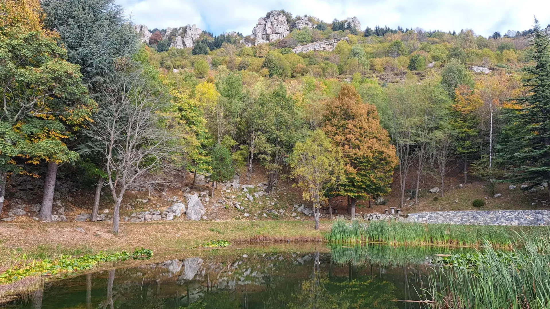
The trail begins at the Sanctuary of the Madonna del Lago, at an altitude of 622 meters in the heart of the Ligurian-Piedmont hinterland, and ascends with regular gradients toward Colle di San Bartolomeo along a path that alternates between chestnut and mixed beech forests. From the hill, a panoramic ridge leads to the summit of Monte Dubasso (1,545 m), where the view extends from the Ligurian Alps to the coast between Albenga and Finale Ligure. The southern slope preserves the remains of terraced olive groves cultivated until the 1960s, evidence of the rural economy that shaped these valleys. The descent passes through clusters of Scots pine and broom, with sections on limestone rock that require caution in exposed sections. Recommended from April to October, preferably in the morning hours for the best visibility towards the coast.
Navigate with QR Code
Scan with your smartphone to start guided navigation directly on the trail.
Trail QR Code
Frame the QR code to open the full navigation

Partenza
Km 0.00
Accessibility for People with Disabilities
Sentiero stretto con tratti esposti su roccia
Il livello di accessibilità è dichiarato dall'ente che gestisce il percorso. Se trovi una difformità, segnalacela: la correggiamo insieme al Comune.
Hiking boots, telescopic poles, 1.5L water, windbreaker, energy snacks, map
For additional information, contact the local tourist office or the reference shelter for the trail.
44,12165, 7,98007

