
Meire Durandini - Punta Ostanetta itinerary
Bagnolo Piemonte (CN) · Piemonte
 EE
EE
Trail Map
Il tracciato completo con i punti di interesse. Puoi cambiare il tipo di mappa dal comando in alto a destra e attivare rifugi, fontane e parcheggi dal pannello a sinistra.
Elevation Profile
Description
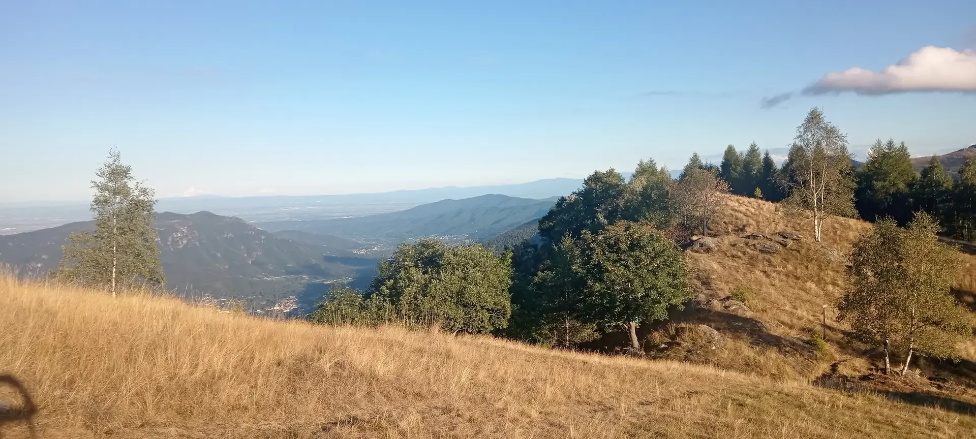
The route ascends from the hamlets of Meire Durandini, approximately 900 meters on the eastern slope of the Infernotto Valley, to Punta Ostanetta (2,378 m), with a total elevation gain of over 1,400 meters. The initial route follows stone mule tracks that once connected the meire—the mountain farmhouses typical of the Occitan valleys—still visible today with their slate roofs and dry-stone walls. Above 1,800 meters, the forest gives way to alpine pastures and fescue meadows, where gentians and Turk's cap lilies bloom in July. From the summit, a 360-degree panorama opens up, encompassing Monviso (3,841 m) to the west and the Piedmont plains all the way to Turin. This challenging hike is reserved for experienced hikers and should only be undertaken in summer with stable weather conditions.
Navigate with QR Code
Scan with your smartphone to start guided navigation directly on the trail.
Trail QR Code
Frame the QR code to open the full navigation

Partenza
Km 0.00
leave at dawn to avoid afternoon storms.
For additional information, contact the local tourist office or the reference shelter for the trail.
44,71990, 7,20145

