
 EE
EE
Trail Map
Il tracciato completo con i punti di interesse. Puoi cambiare il tipo di mappa dal comando in alto a destra e attivare rifugi, fontane e parcheggi dal pannello a sinistra.
Elevation Profile
Description
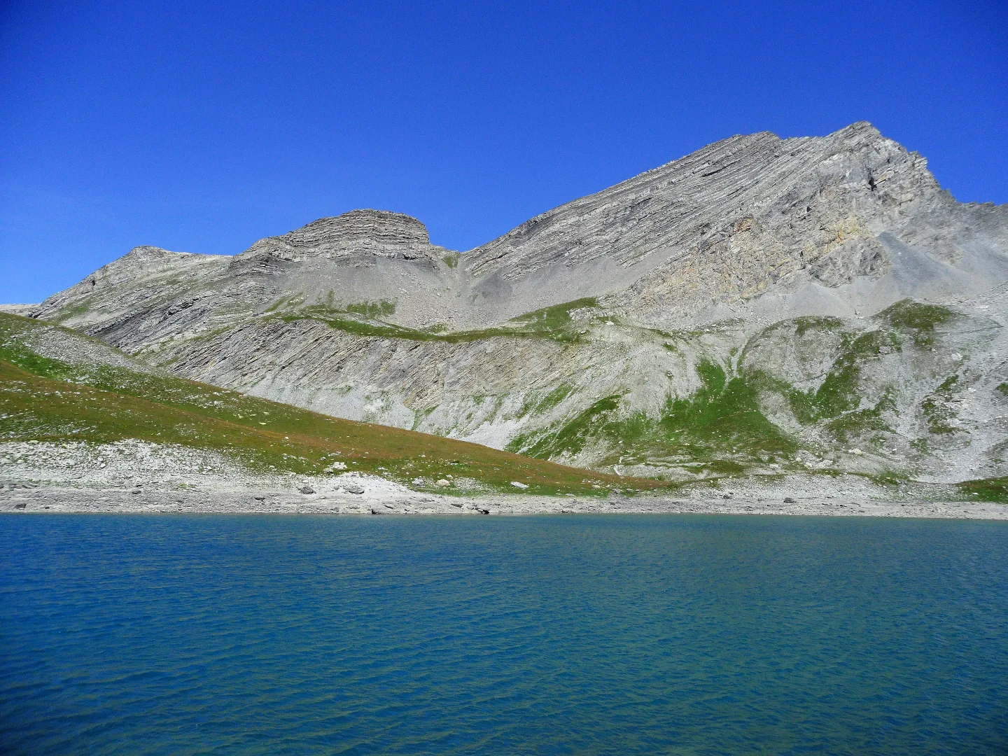
The route to Tête de l'Enchastraye (2,954 m) winds through the head of the Stura Valley, in the municipality of Argentera, bordering France. The climb begins at Colle della Maddalena (1,996 m) and passes through a high mountain environment characterized by metamorphic rocks and Quaternary glacial moraines. Above 2,400 meters, the trail enters the realm of Alpine chamois and rock ptarmigan, while snowfields persist in the humid valleys until July. The summit offers a panorama that extends from the Argentera massif to the Mediterranean Sea on clear days. This area is part of the Maritime Alps defense system, with remains of military fortifications of the Alpine Wall built between the two world wars. This route should only be attempted in stable weather between July and September.
Navigate with QR Code
Scan with your smartphone to start guided navigation directly on the trail.
Trail QR Code
Frame the QR code to open the full navigation

Partenza
Km 0.00
residual snow possible until mid-summer.
For additional information, contact the local tourist office or the reference shelter for the trail.
44,33389, 6,86556

