
 EE
EE
Trail Map
Il tracciato completo con i punti di interesse. Puoi cambiare il tipo di mappa dal comando in alto a destra e attivare rifugi, fontane e parcheggi dal pannello a sinistra.
Elevation Profile
Description
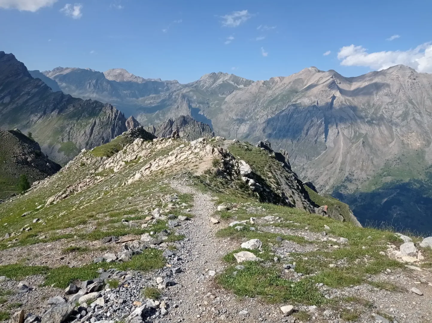
The Pier Giorgio Frassati Trail crosses the upper Maira Valley in the Acceglio area, dedicated to the young Turin mountaineer beatified in 1990. The route begins at the valley floor at approximately 1,200 meters and winds through the Occitan villages of Saretto and Chiappera, where stone houses with slate roofs preserve the valley's traditional architecture. Above 2,000 meters, the trail enters an environment of alpine meadows and scree fields where Alpine choughs nest and edelweiss flowers. The route passes Lake Visaisa (2,280 m) and climbs towards the hills marking the border with France. The Maira Valley is known for having preserved its Occitan culture intact, with musical and linguistic traditions still alive in the villages it passes through. This long and challenging hike is recommended for experienced hikers between July and September.
Navigate with QR Code
Scan with your smartphone to start guided navigation directly on the trail.
Trail QR Code
Frame the QR code to open the full navigation

Partenza
Km 0.00
bring plenty of water supplies as there are no sources at the top.
For additional information, contact the local tourist office or the reference shelter for the trail.
44,45488, 6,92884

