
 E
E
Trail Map
Il tracciato completo con i punti di interesse. Puoi cambiare il tipo di mappa dal comando in alto a destra e attivare rifugi, fontane e parcheggi dal pannello a sinistra.
Elevation Profile
Description
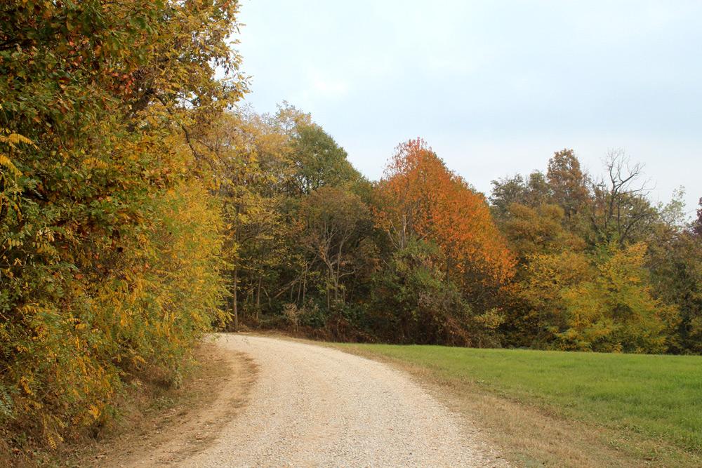
The Asphodel Trail takes its name from the flowering Asphodelus albus (common asphodel) that, between May and June, turns the Roero meadows around Baldissero d'Alba white. The route winds along dirt roads and trails among the sandy hills at about 300 meters above sea level, passing through a mosaic of Arneis vineyards—a native Roero DOCG grape—and forests of downy oak and Scots pine. The Roero 'rocche', spectacular gullies of Asti sand formed by erosion, line long stretches of the trail with vertical walls exceeding 20 meters. The village of Baldissero preserves the remains of the medieval Roero castle and the parish church of San Giacomo, documented since the 12th century. Accessible from March to November.
Navigate with QR Code
Scan with your smartphone to start guided navigation directly on the trail.
Trail QR Code
Frame the QR code to open the full navigation

Partenza
Km 0.00
In spring, the combination of blooms and newly sprouted vineyards offers the richest landscape.
For additional information, contact the local tourist office or the reference shelter for the trail.
44,75224, 7,88253

