
 EE
EE
Trail Map
Il tracciato completo con i punti di interesse. Puoi cambiare il tipo di mappa dal comando in alto a destra e attivare rifugi, fontane e parcheggi dal pannello a sinistra.
Elevation Profile
Description
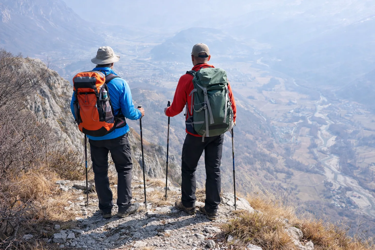
Trail P64 ascends the Stura Valley from Aisone toward the ridges separating the Stura and Gesso valleys, in the heart of the Maritime Alps. It begins at about 750 meters above sea level on the valley floor, where the Stura di Demonte stream flows through beech and chestnut forests. The trail quickly gains altitude through a dense beech forest and then alpine pastures where, in the summer, herds of Piedmontese cattle are still transhumance-style. Above 2,000 meters, the landscape opens up to high-altitude meadows and scree slopes, with views of Mount Tenibres (3,031 m) and the peaks of the Italian-French border range. The area is part of the Maritime Alps Natural Park, where colonies of ibex and golden eagles have been documented. For experienced hikers only, July to September.
Gallery
Navigate with QR Code
Scan with your smartphone to start guided navigation directly on the trail.
Trail QR Code
Frame the QR code to open the full navigation

Partenza
Km 0.00
the steep difference in altitude requires training and an early morning departure.
For additional information, contact the local tourist office or the reference shelter for the trail.
44,31570, 7,21419

