
 EE
Not accessible
EE
Not accessible
Trail Map
Il tracciato completo con i punti di interesse. Puoi cambiare il tipo di mappa dal comando in alto a destra e attivare rifugi, fontane e parcheggi dal pannello a sinistra.
Elevation Profile
Description
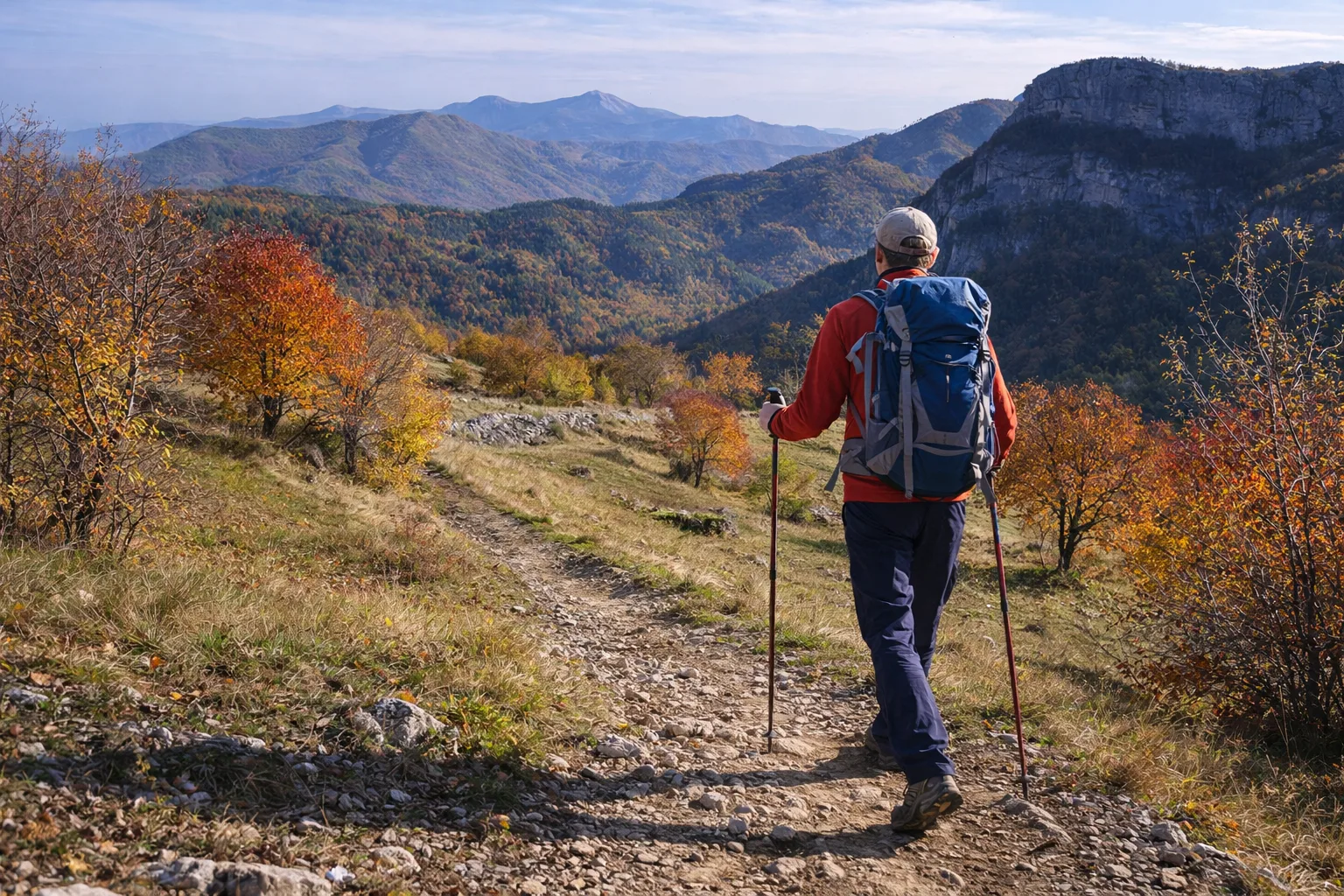
Trail A52 begins in Bagnasco, a village in the Tanaro Valley at 470 meters above sea level, and ascends the valley's left slope through a transitional environment between the Ligurian and Alpine climates. The initial route passes through chestnut groves that for centuries have been the staple food of local communities, with monumental trees with trunks exceeding two meters in diameter. Ascending toward the ridges, you'll encounter reforested stands of black pine planted after World War II to counteract the valley's hydrogeological instability. Bagnasco is known for its medieval bridge over the Tanaro River and for its work in Langa stone, a local sandstone used for the roofs of traditional farmhouses. From the highest points of the trail, you can see the Monregalese ridges and the first crests of the Ligurian Alps. From April to November, avoid the hot summer days in the initial stretch of the valley floor.
Gallery
Navigate with QR Code
Scan with your smartphone to start guided navigation directly on the trail.
Trail QR Code
Frame the QR code to open the full navigation

Partenza
Km 0.00
Accessibility for People with Disabilities
Sentiero con forte dislivello e tratti ripidi
Il livello di accessibilità è dichiarato dall'ente che gestisce il percorso. Se trovi una difformità, segnalacela: la correggiamo insieme al Comune.
Hiking boots, telescopic poles, 1.5L water, windbreaker, energy snacks, map
For additional information, contact the local tourist office or the reference shelter for the trail.
44,30322, 8,04340

