
 EE
Not accessible
EE
Not accessible
Trail Map
Il tracciato completo con i punti di interesse. Puoi cambiare il tipo di mappa dal comando in alto a destra e attivare rifugi, fontane e parcheggi dal pannello a sinistra.
Elevation Profile
Description
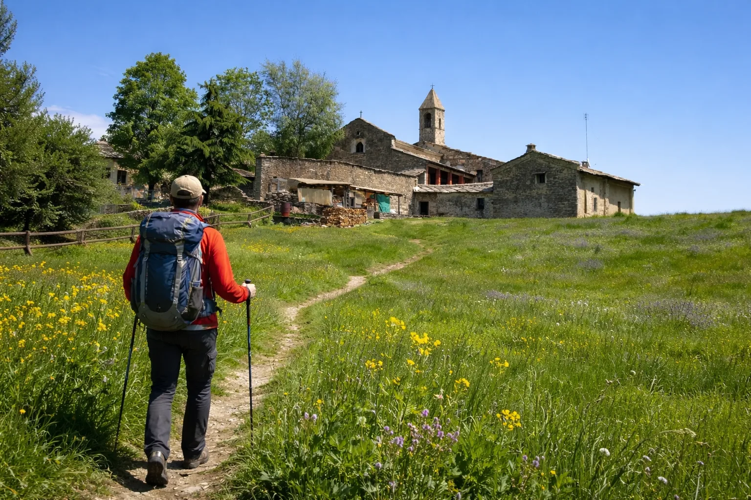
Trail V01C ascends the western slope of Mount Bracco from Barge, a piedmont municipality at 372 meters above sea level at the foot of the Cottian Alps. The route initially passes through chestnut and oak groves before entering the beech forest above 1,000 meters. Mount Bracco is known for its white quartzite quarries—the so-called Luserna stone—used for centuries for traditional roofing and still extracted today in the area's active quarries. The trail runs alongside some of these historic quarries, where signs of manual extraction dating back to the 18th century can be seen. From the highest points of the trail, you can overlook the Saluzzo plain with Manta Castle in the background. On clear days, the outline of Monviso (3,841 m) stands out clearly to the west. This hike is for experienced hikers; recommended from June to October, avoiding the hottest hours of the day during the initial stretch.
Gallery
Navigate with QR Code
Scan with your smartphone to start guided navigation directly on the trail.
Trail QR Code
Frame the QR code to open the full navigation

Partenza
Km 0.00
Accessibility for People with Disabilities
Sentiero ripido con forte dislivello
Il livello di accessibilità è dichiarato dall'ente che gestisce il percorso. Se trovi una difformità, segnalacela: la correggiamo insieme al Comune.
High boots, poles, 2L water, technical jacket, first aid kit, headlamp, map and compass
For additional information, contact the local tourist office or the reference shelter for the trail.
44,72327, 7,32811

