
 EE
Not accessible
EE
Not accessible
Trail Map
Il tracciato completo con i punti di interesse. Puoi cambiare il tipo di mappa dal comando in alto a destra e attivare rifugi, fontane e parcheggi dal pannello a sinistra.
Elevation Profile
Description
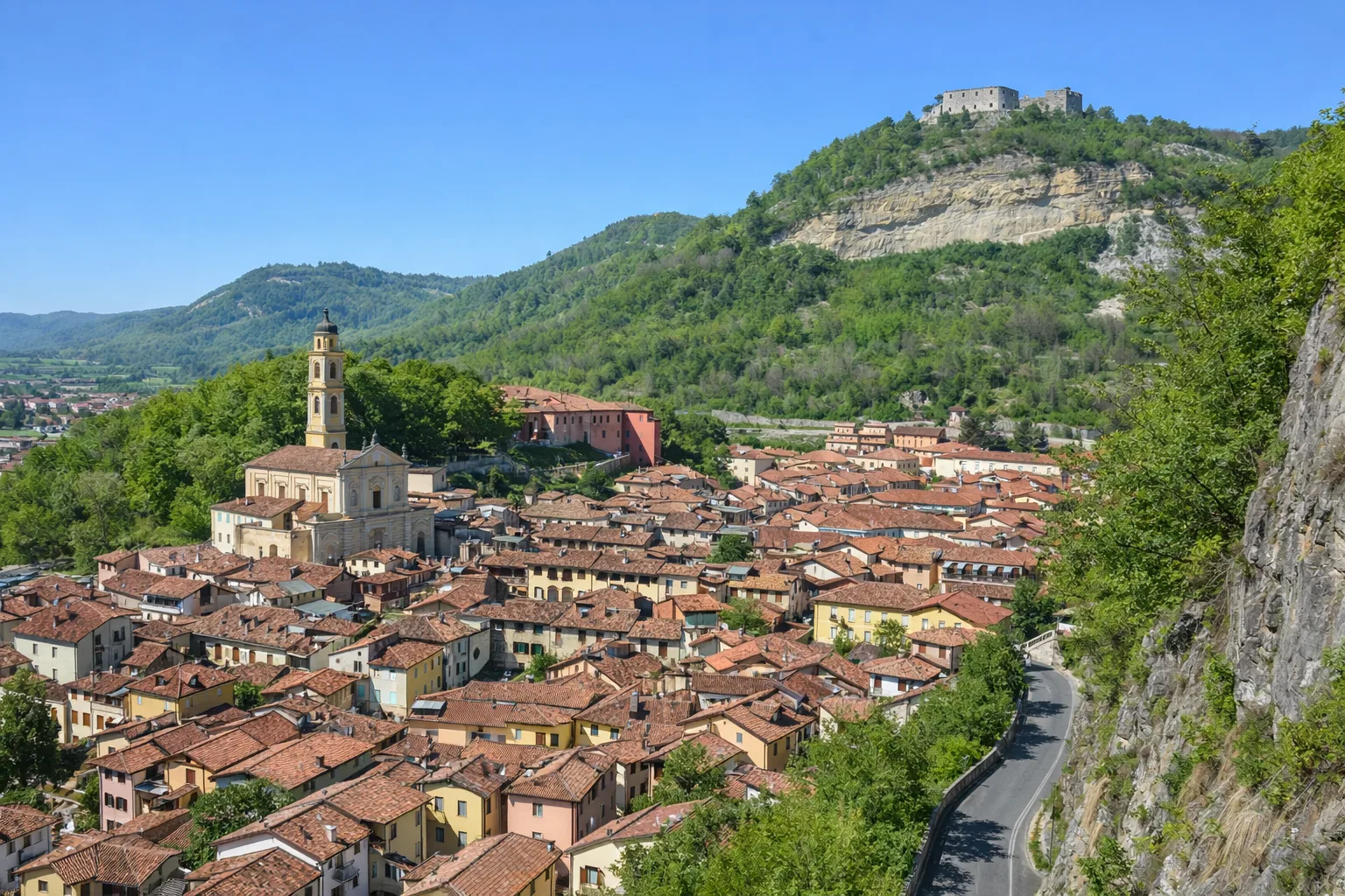
Trail A52 crosses the territory of Battifollo, a small municipality in the upper Tanaro Valley with fewer than 200 inhabitants, rising from an altitude of 600 meters above sea level to the ridges separating the Tanaro and Mongia valleys. The trail enters mixed forests of beech, oak, and hornbeam, where primroses and wild violets bloom in spring. The area boasts monumental chestnut trees, some with trunks exceeding three meters in circumference, a remnant of the chestnut economy that supported these mountain communities until after World War II. Battifollo was part of the Marquisate of Ceva, and its territory is dotted with sandstone shrines along the mule tracks that connected the valley's villages. From the ridges, views open up of the Ligurian Alps and the ridge descending toward Ormea. From April to October; bring sufficient water supplies as there are no springs along the trail.
Gallery
Navigate with QR Code
Scan with your smartphone to start guided navigation directly on the trail.
Trail QR Code
Frame the QR code to open the full navigation

Partenza
Km 0.00
Accessibility for People with Disabilities
Sentiero impegnativo con forte dislivello
Il livello di accessibilità è dichiarato dall'ente che gestisce il percorso. Se trovi una difformità, segnalacela: la correggiamo insieme al Comune.
High boots, poles, 2L water, technical jacket, first aid kit, headlamp, map and compass
For additional information, contact the local tourist office or the reference shelter for the trail.
44,30322, 8,04340

