
 EE
Not accessible
EE
Not accessible
Trail Map
Il tracciato completo con i punti di interesse. Puoi cambiare il tipo di mappa dal comando in alto a destra e attivare rifugi, fontane e parcheggi dal pannello a sinistra.
Elevation Profile
Description
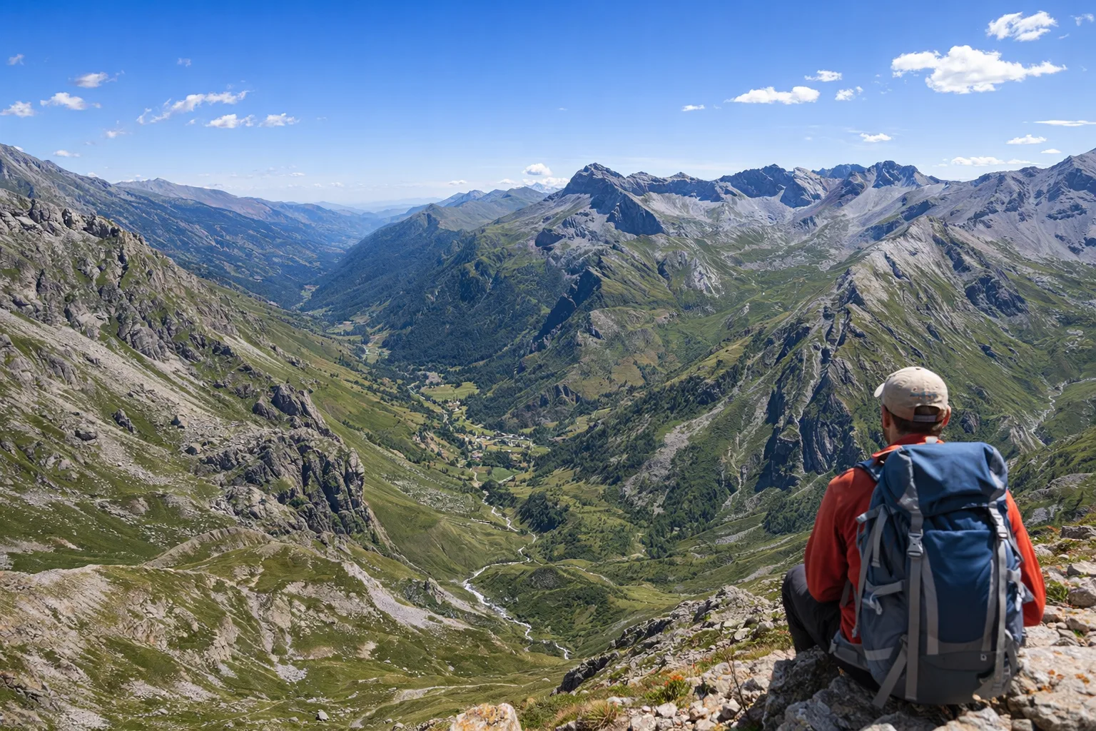
Stage D48 of the Via Alpina Blue passes through the Bellino area, one of the highest municipalities in the Varaita Valley at 1,480 meters, the last outpost of Occitan culture before the French border. The trail ascends through the hamlets of Celle and Chiazale—where the stone and larch houses still retain dates engraved on their doorways dating back to the 17th century—and then gains altitude towards the hills above 2,500 meters. The high-altitude environment is home to meadows of nard and gentian, with marmots and chamois present right up to the summit scree slopes. The parish church of Sant'Giacomo in Bellino preserves a cycle of late-Gothic frescoes from the 15th century attributed to the school of the Biazaci brothers. This long and challenging route is only suitable for experienced hikers; it can only be undertaken in summer with stable weather. It is essential to set off at dawn and check the snow conditions on the hills.
Gallery
Navigate with QR Code
Scan with your smartphone to start guided navigation directly on the trail.
Trail QR Code
Frame the QR code to open the full navigation

Partenza
Km 0.00
Accessibility for People with Disabilities
Alta montagna con possibile neve residua e forte dislivello
Il livello di accessibilità è dichiarato dall'ente che gestisce il percorso. Se trovi una difformità, segnalacela: la correggiamo insieme al Comune.
High boots, poles, helmet/crampons if necessary, 2L water, technical jacket, first aid kit, headlamp, map and compass
For additional information, contact the local tourist office or the reference shelter for the trail.
44,60253, 7,03614

