
 T
T
Trail Map
Il tracciato completo con i punti di interesse. Puoi cambiare il tipo di mappa dal comando in alto a destra e attivare rifugi, fontane e parcheggi dal pannello a sinistra.
Elevation Profile
Description
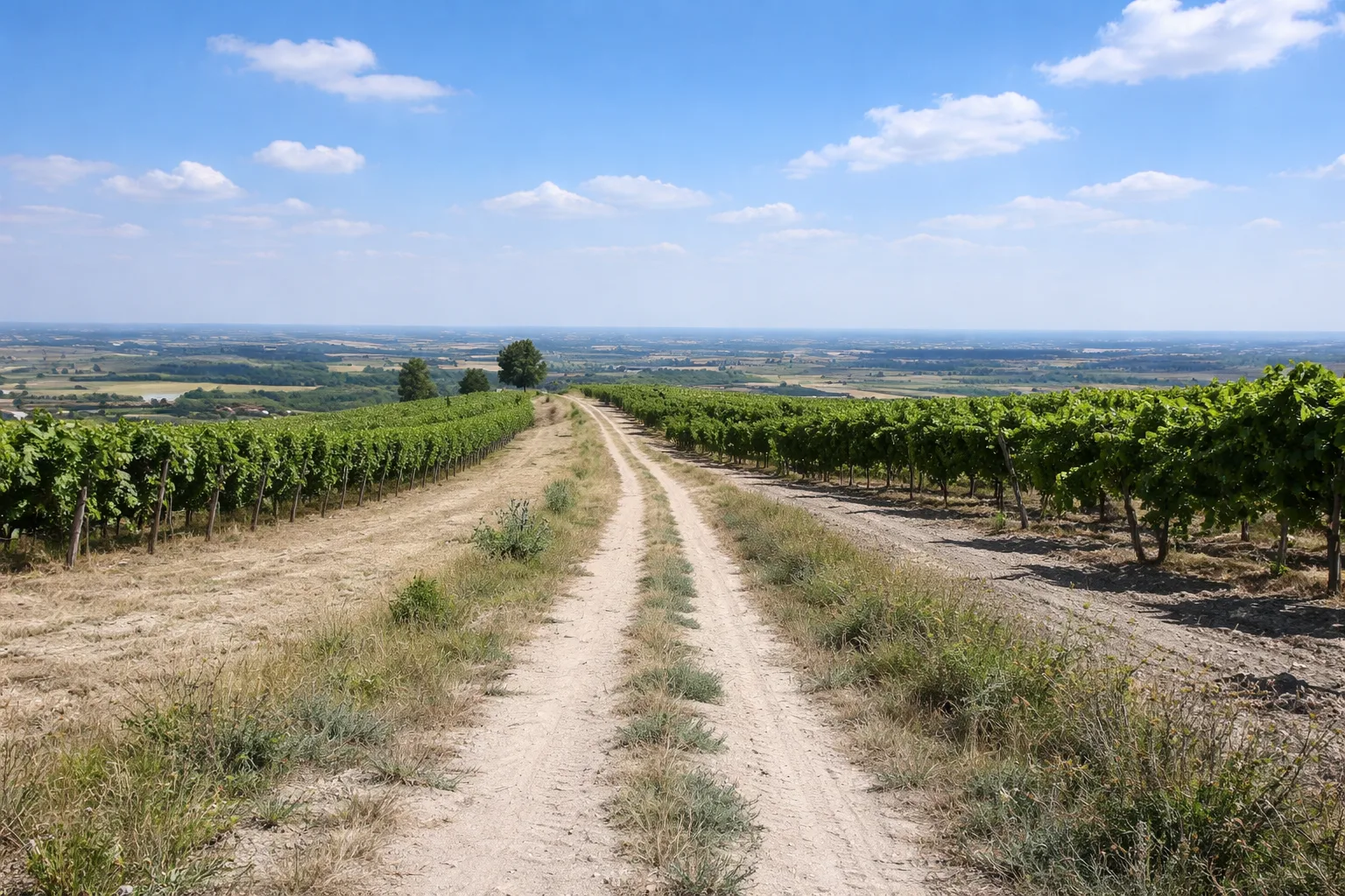
Trail 101A loops around Bergolo, the smallest town in the Langhe, with fewer than 70 inhabitants, known as the "stone village" for its houses built entirely of local sandstone. The trail descends from the village—perched at 616 meters on a ridge between the Bormida and Uzzone valleys—through hazelnut and oak groves that are tinged with red and gold in autumn. The houses in the historic center are decorated with over forty open-air works of art, installations, and sculptures from the "Bergolo Stone Village" project, launched in the 1990s. The Romanesque church of San Sebastiano, documented since the 13th century, retains its original bell tower made of squared sandstone blocks. From the trail's vantage points, you can see the hills of the Alta Langa all the way to the tower of Cortemilia. This short route is suitable for everyone and can be done year-round; in summer, the village's tranquility makes it an oasis far from mass tourism.
Gallery
Navigate with QR Code
Scan with your smartphone to start guided navigation directly on the trail.
Trail QR Code
Frame the QR code to open the full navigation

Partenza
Km 0.00
Comfortable shoes, 0.5-1L water, route map
For additional information, contact the local tourist office or the reference shelter for the trail.
44,54790, 8,18350

