
 E
Not accessible
E
Not accessible
Trail Map
Il tracciato completo con i punti di interesse. Puoi cambiare il tipo di mappa dal comando in alto a destra e attivare rifugi, fontane e parcheggi dal pannello a sinistra.
Elevation Profile
Description
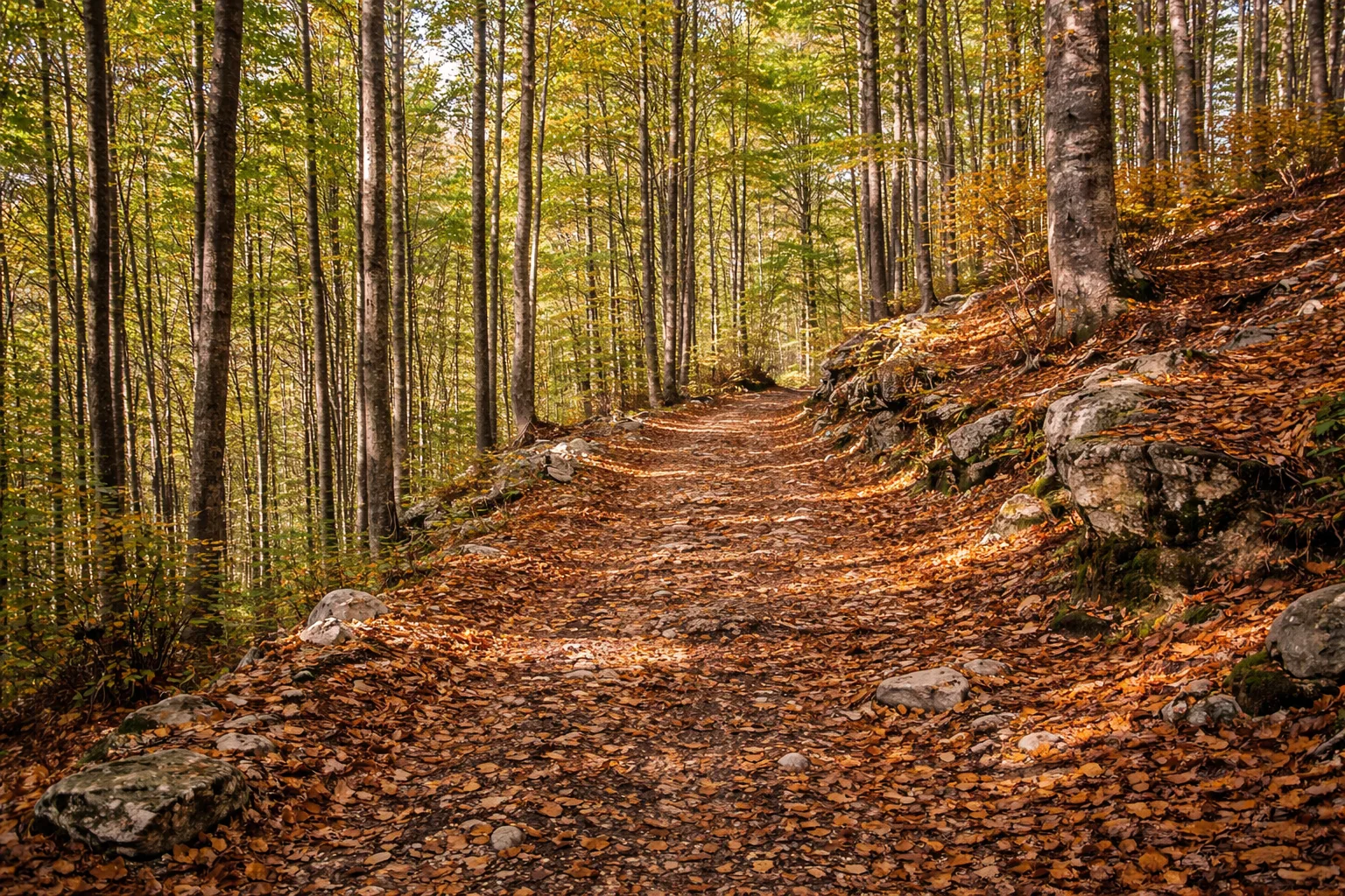
Trail R42 begins in Bernezzo, a municipality at an altitude of 575 meters at the mouth of the Grana Valley, and ascends the left orographic slope toward the ridges that divide the Grana Valley from the Stura Valley. The route passes through a dense chestnut forest for the first few kilometers, with fruit trees still cultivated for the production of the Cuneo chestnut. Above 1,000 meters, the chestnut trees give way to beech trees and mountain meadows where daffodils and wild orchids bloom in spring. Bernezzo has a long tradition of growing hemp, which until the 19th century was the main economic activity in the lower valley. From the highest points of the route, the peaks of the Grana Valley, including Pizzo d'Ormea, can be seen, and on the opposite side, Bisalta (2,404 m), which dominates Cuneo. From April to November; start early on summer days to avoid the heat of the initial stretch.
Gallery
Navigate with QR Code
Scan with your smartphone to start guided navigation directly on the trail.
Trail QR Code
Frame the QR code to open the full navigation

Partenza
Km 0.00
Accessibility for People with Disabilities
Sentiero di montagna con dislivello significativo
Il livello di accessibilità è dichiarato dall'ente che gestisce il percorso. Se trovi una difformità, segnalacela: la correggiamo insieme al Comune.
Hiking boots, telescopic poles, 1.5L water, windbreaker, energy snacks, map
For additional information, contact the local tourist office or the reference shelter for the trail.
44,38153, 7,43724

