
 T
T
Trail Map
Il tracciato completo con i punti di interesse. Puoi cambiare il tipo di mappa dal comando in alto a destra e attivare rifugi, fontane e parcheggi dal pannello a sinistra.
Elevation Profile
Description
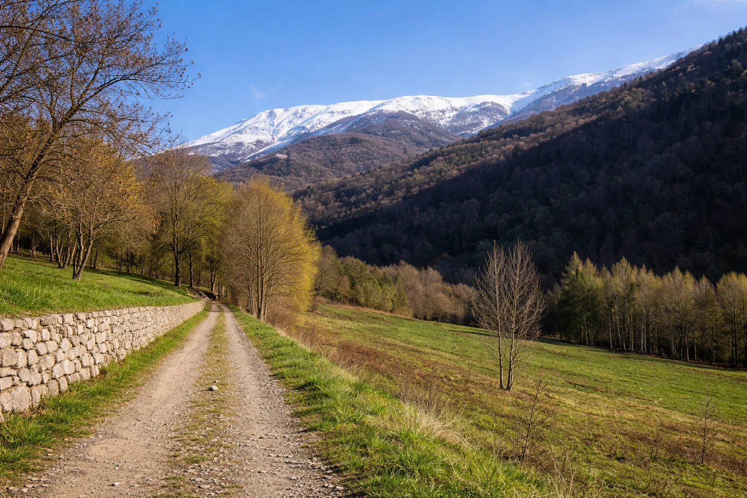
Trail P01D runs through the surroundings of Borgo San Dalmazzo, a town at 641 meters above sea level at the crossroads of three valleys: Vermenagna, Gesso, and Stura. The flat route runs alongside the Gesso stream along a path suitable for all, among poplars and willows that form a green tunnel in the summer months. Borgo San Dalmazzo preserves the remains of the Benedictine Abbey of San Dalmazzo di Pedona, founded in the 7th century on the ruins of a Roman temple—archaeological excavations have revealed late-antique floor mosaics, which can now be visited in the crypt. The town is famous for its Fiera Fredda dell'Immacolata (December 8), a historic snail market that attracts over 50,000 visitors. The route passes near the train station, a hub on the Cuneo-Ventimiglia line inaugurated in 1928. It is accessible year-round; on winter days, the low sun illuminates the rocky walls of the surrounding valleys.
Gallery
Navigate with QR Code
Scan with your smartphone to start guided navigation directly on the trail.
Trail QR Code
Frame the QR code to open the full navigation

Partenza
Km 0.00
Comfortable shoes, 0.5-1L water, route map
For additional information, contact the local tourist office or the reference shelter for the trail.
44,33541, 7,45507

