
 E
E
Trail Map
Il tracciato completo con i punti di interesse. Puoi cambiare il tipo di mappa dal comando in alto a destra e attivare rifugi, fontane e parcheggi dal pannello a sinistra.
Elevation Profile
Description
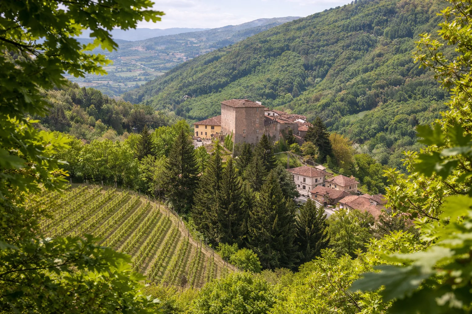
Trail 204 winds through the hills of Borgomale, a small town in the Alba Langhe area, at 470 meters above sea level, in a landscape dominated by the cultivation of the Tonda Gentile delle Langhe hazelnut. The trail passes through hazelnut groves and clearings of mixed forest where oak, hornbeam, and wild cherry trees alternate with moss-covered dry stone walls. Borgomale Castle, a medieval structure with a 12th-century square tower, dominates the village from above and is visible for much of the trail. The marly-clayey subsoil, rich in Miocene fossils, emerges from road cuts and natural landslides along the north-facing slope. In autumn, the undergrowth is fertile ground for black truffles and pioppine mushrooms, traditionally prized local mushrooms. From March to November, on autumn mornings, the mists of the Langhe create a landscape of hills that emerge like islands.
Gallery
Navigate with QR Code
Scan with your smartphone to start guided navigation directly on the trail.
Trail QR Code
Frame the QR code to open the full navigation

Partenza
Km 0.00
Lightweight hiking shoes, hat, 1L water, sunscreen, snacks
For additional information, contact the local tourist office or the reference shelter for the trail.
44,64210, 8,11435

