
 E
Not accessible
E
Not accessible
Trail Map
Il tracciato completo con i punti di interesse. Puoi cambiare il tipo di mappa dal comando in alto a destra e attivare rifugi, fontane e parcheggi dal pannello a sinistra.
Elevation Profile
Description
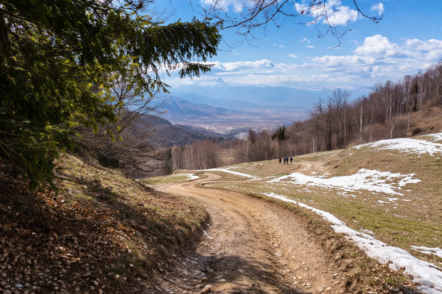
Trail L32D is a short but steep climb up the slopes of Bisalta, rising above Boves, a piedmont town at 590 meters above sea level, awarded the Gold Medal for Military Valor for the Nazi-Fascist massacre of September 19, 1943, the first reprisal against civilians in Italy. The trail climbs rapidly through chestnut and beech trees, gaining almost 400 meters of elevation in less than two kilometers. The limestone terrain is home to a rich flora, including autumnal cyclamen, hellebores, and liverworts in the spring months. From the top of the trail, you can overlook the Cuneo plain with the confluence of the Gesso and Stura streams, and on clear days, you can see the hills of Turin. The slope is frequented by roe deer, which descend to the valley meadows at sunset. Recommended from April to October; the steep slope requires sure-footedness and suitable footwear.
Gallery
Navigate with QR Code
Scan with your smartphone to start guided navigation directly on the trail.
Trail QR Code
Frame the QR code to open the full navigation

Partenza
Km 0.00
Accessibility for People with Disabilities
Sentiero ripido con forte pendenza su breve distanza
Il livello di accessibilità è dichiarato dall'ente che gestisce il percorso. Se trovi una difformità, segnalacela: la correggiamo insieme al Comune.
Hiking boots, telescopic poles, 1.5L water, windbreaker, energy snacks, map
For additional information, contact the local tourist office or the reference shelter for the trail.
44,31685, 7,54126

