
 E
E
Trail Map
Il tracciato completo con i punti di interesse. Puoi cambiare il tipo di mappa dal comando in alto a destra e attivare rifugi, fontane e parcheggi dal pannello a sinistra.
Elevation Profile
Description
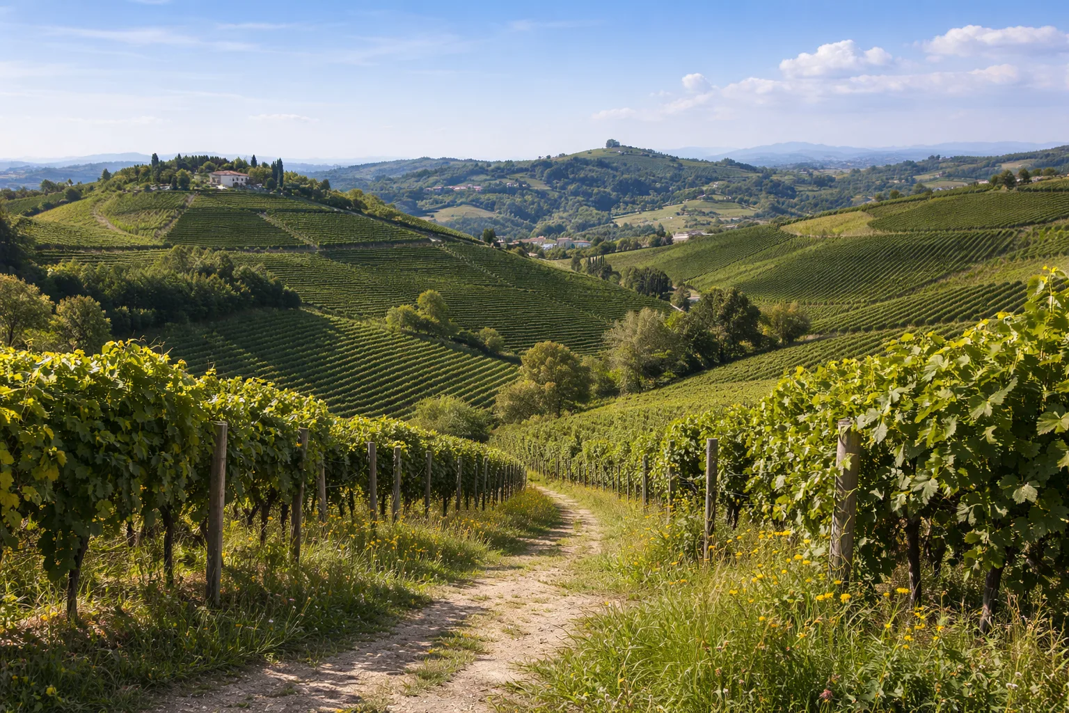
Trail 406 traverses the hilly landscape around Bra, a city of about 30,000 inhabitants in southern Roero, known worldwide as the home of Slow Food and the biennial Cheese fair. The route follows dirt roads and dirt tracks through Arneis and Nebbiolo vineyards, black locust forests, and hazelnut groves, passing by the "rocche"—the characteristic Astian sandstone cliffs that carve the Roero landscape with ravines up to 30 meters deep. The Baroque church of Santa Chiara in the historic center, designed by Bernardo Antonio Vittone in 1742, is considered a masterpiece of Piedmontese late-Baroque architecture with its perforated double dome. The Roero is a geologically young region, formed by deposits from the Pliocene sea that receded about 3 million years ago, and the trail traverses the sandy stratifications visible in the natural gorges. From March to November; a long route suitable for experienced hikers or can be split into stages.
Gallery
Navigate with QR Code
Scan with your smartphone to start guided navigation directly on the trail.
Trail QR Code
Frame the QR code to open the full navigation

Partenza
Km 0.00
Lightweight hiking shoes, hat, 1L water, sunscreen, snacks
For additional information, contact the local tourist office or the reference shelter for the trail.
44,78689, 7,84184

