
 E
Not accessible
E
Not accessible
Trail Map
Il tracciato completo con i punti di interesse. Puoi cambiare il tipo di mappa dal comando in alto a destra e attivare rifugi, fontane e parcheggi dal pannello a sinistra.
Elevation Profile
Description
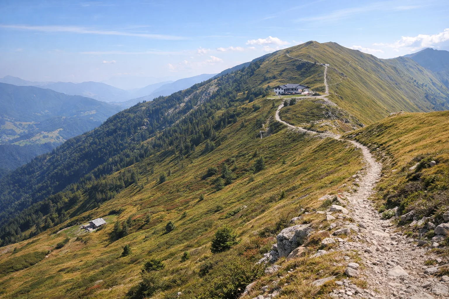
Trail 381C runs through the territory of Briga Alta, the southernmost municipality in Piedmont, annexed to Italy in 1947 with the Treaty of Paris, along with neighboring Briga Marittima, which remained French. The route begins in the hamlet of Piaggia at approximately 1,300 meters and ascends through larch and beech forests on the slope overlooking the original Tanaro Valley, where the river rises a few kilometers away. The area retains characteristic rural architecture, with dry-stone houses and slate roofs, a legacy of the Brigasca culture—a pastoral and linguistic tradition shared with the French villages across the border. The mountain pastures dotted along the trail bear witness to the transhumance of sheep that, until the 1960s, involved thousands of animals between the Ligurian coast and these pastures. From April to October, the trail faces north and can retain snow until late spring.
Gallery
Navigate with QR Code
Scan with your smartphone to start guided navigation directly on the trail.
Trail QR Code
Frame the QR code to open the full navigation

Partenza
Km 0.00
Accessibility for People with Disabilities
Sentiero di montagna con pendenze significative
Il livello di accessibilità è dichiarato dall'ente che gestisce il percorso. Se trovi una difformità, segnalacela: la correggiamo insieme al Comune.
Hiking boots, telescopic poles, 1.5L water, windbreaker, energy snacks, map
For additional information, contact the local tourist office or the reference shelter for the trail.
44,12773, 7,73347

