
 E
Not accessible
E
Not accessible
Trail Map
Il tracciato completo con i punti di interesse. Puoi cambiare il tipo di mappa dal comando in alto a destra e attivare rifugi, fontane e parcheggi dal pannello a sinistra.
Elevation Profile
Description
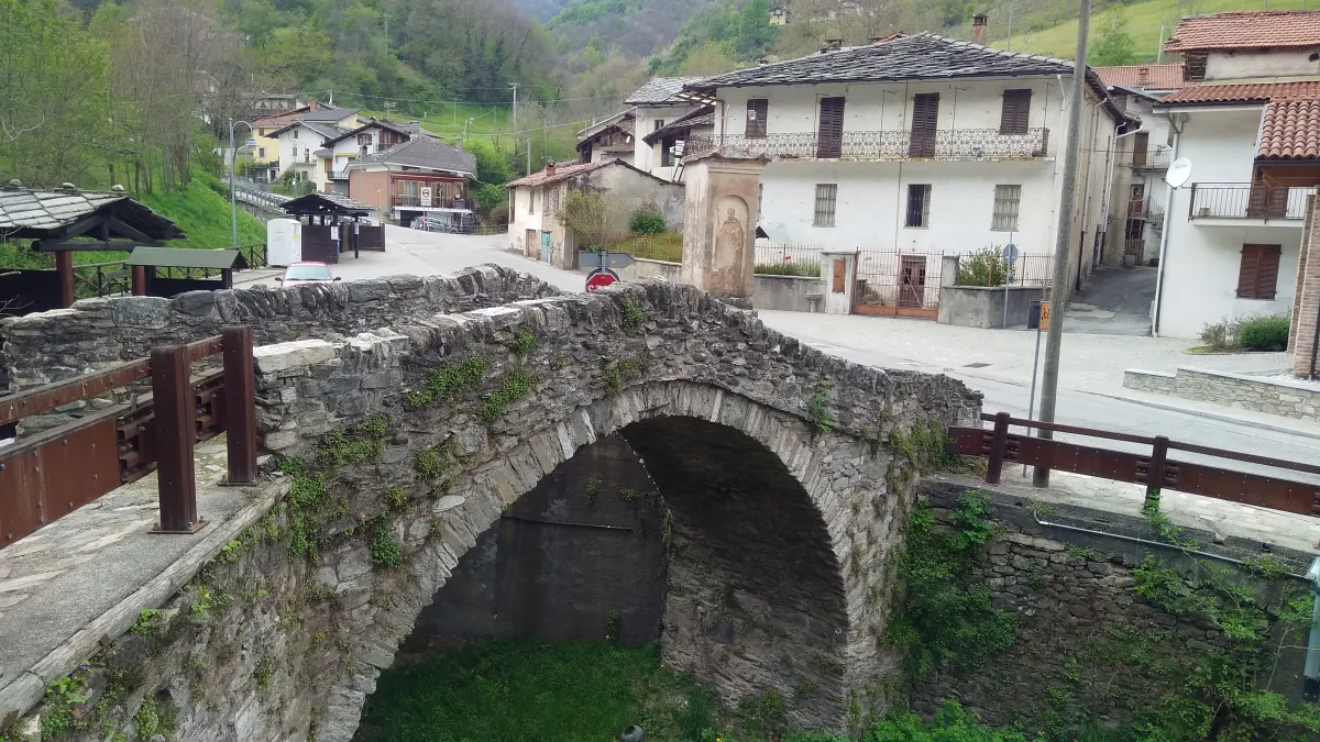
Trail V46A begins in Brondello, a small village at 588 meters on the left bank of the Bronda River, a tributary of the Po River. The route climbs the hillsides among chestnut and hazelnut groves that characterize this foothills of the Po Valley. Brondello preserves a medieval humpback stone bridge over the Bronda, documented since the 14th century and still passable on foot, which is the ideal starting point. The trail passes through rural villages with houses built of local stone and roofs made of Luserna slate, typical of the architecture of the Saluzzo valleys. Above 900 meters, clearings open up with views of the plain and Monviso (3,841 m), which on clear days appears very close with its residual glaciers. The area is rich in spring waters that feed stone troughs along the mule tracks. From April to November, the spring blossoming of wild cherry trees in the chestnut groves is a little-known spectacle.
Gallery
Navigate with QR Code
Scan with your smartphone to start guided navigation directly on the trail.
Trail QR Code
Frame the QR code to open the full navigation

Partenza
Km 0.00
Accessibility for People with Disabilities
Sentiero con dislivello significativo
Il livello di accessibilità è dichiarato dall'ente che gestisce il percorso. Se trovi una difformità, segnalacela: la correggiamo insieme al Comune.
Hiking boots, telescopic poles, 1.5L water, windbreaker, energy snacks, map
For additional information, contact the local tourist office or the reference shelter for the trail.
44,59451, 7,40205

