
 T
T
Trail Map
Il tracciato completo con i punti di interesse. Puoi cambiare il tipo di mappa dal comando in alto a destra e attivare rifugi, fontane e parcheggi dal pannello a sinistra.
Elevation Profile
Description
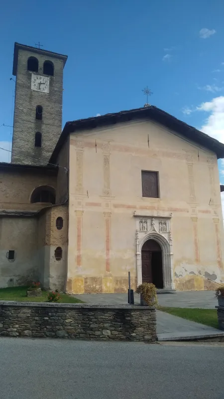
Trail U34B is a short hike from Brossasco, the center of the middle Varaita Valley at an altitude of 600 meters, up to the upper villages through a network of stone streets and paths through vegetable gardens and orchards. Brossasco is known for its Wood Museum, housed in the former municipal sawmill, a testament to the forestry activity that shaped the valley's economy for centuries—Swiss pine and larch were floated down the Varaita River to the plain. The parish church of San Giovanni Battista, rebuilt in the 17th century, preserves a 12th-century Romanesque bell tower with gray stone mullioned windows. The trail passes ancient stone fountains and dry stone walls that delimit the terraces still cultivated with potatoes and rye. This short route is suitable for everyone and can be done year-round; on summer evenings, the village hosts the 'Sarvanot' festival, a traditional Occitan figure.
Gallery
Navigate with QR Code
Scan with your smartphone to start guided navigation directly on the trail.
Trail QR Code
Frame the QR code to open the full navigation

Partenza
Km 0.00
Comfortable shoes, 0.5-1L water, route map
For additional information, contact the local tourist office or the reference shelter for the trail.
44,60382, 7,27156

