
 T
T
Free forever · No registration · No app to download
Discover what to visit,
wherever you are.
Trails, cultural routes, museum tours, bike paths, local activities: everything a territory has to offer, on your phone. With GPS navigation and interactive maps. Free for everyone, no limits.
202+
Routes
180+
Municipalities
13
Regions
49k+
Visitors
Tutti i percorsi
Sentieri, itinerari culturali, giri in bici e percorsi dei musei, comune per comune.
Sfoglia l'elencoPercorsi accessibili
Solo i percorsi verificati per carrozzine, passeggini e mobilità ridotta.
Vedi i percorsiComuni aderenti
Cerca il tuo comune o quello che stai visitando e scopri cosa ha preparato.
Cerca un comuneMappa interattiva
Tutti i percorsi d'Italia su un'unica mappa. Clicca e parti.
Apri la mappaSemplicissimo
How It Works
Three simple steps to discover everything you can do and visit in a territory. Nothing to install, nothing to set up.
1
Find what to visit
Search the site by municipality, area or type of experience: trails, cultural routes, bike tours, museum paths. Or scan a QR code you find on the territory.
2
Open and navigate
Opens directly in your phone's browser. You don't need to download any app, create any account, or pay anything. It works right away.
3
Let yourself be guided
GPS follows you in real time on the map. Points of interest are marked along the route, with descriptions and photos. Works even without a connection.
Completely free. Forever.
We will never ask you for anything.
TRAILGO is a public service, not a commercial app. This means you can use it freely, without limits, whenever you want. You will not be asked for any registration, subscription, or payment. Not today, not tomorrow, not ever.
No paywall will stop you after the first use, no feature will be "premium", no banner will ask you to pay. Everything you see is yours, free, right from the start.
No registration
You don't need to create any account
No subscription
There are no paid plans
No app to download
Works in your phone's browser
Unlimited access
Use TRAILGO as many times as you want, forever
Service dedicated to Italian territory
Routes for all municipalities in Italy
TRAILGO is a service created for Italian territory. Each participating municipality provides routes, itineraries and local activities for its citizens and visitors. From major cities to small villages: if your municipality is on TRAILGO, you already have everything ready to explore.
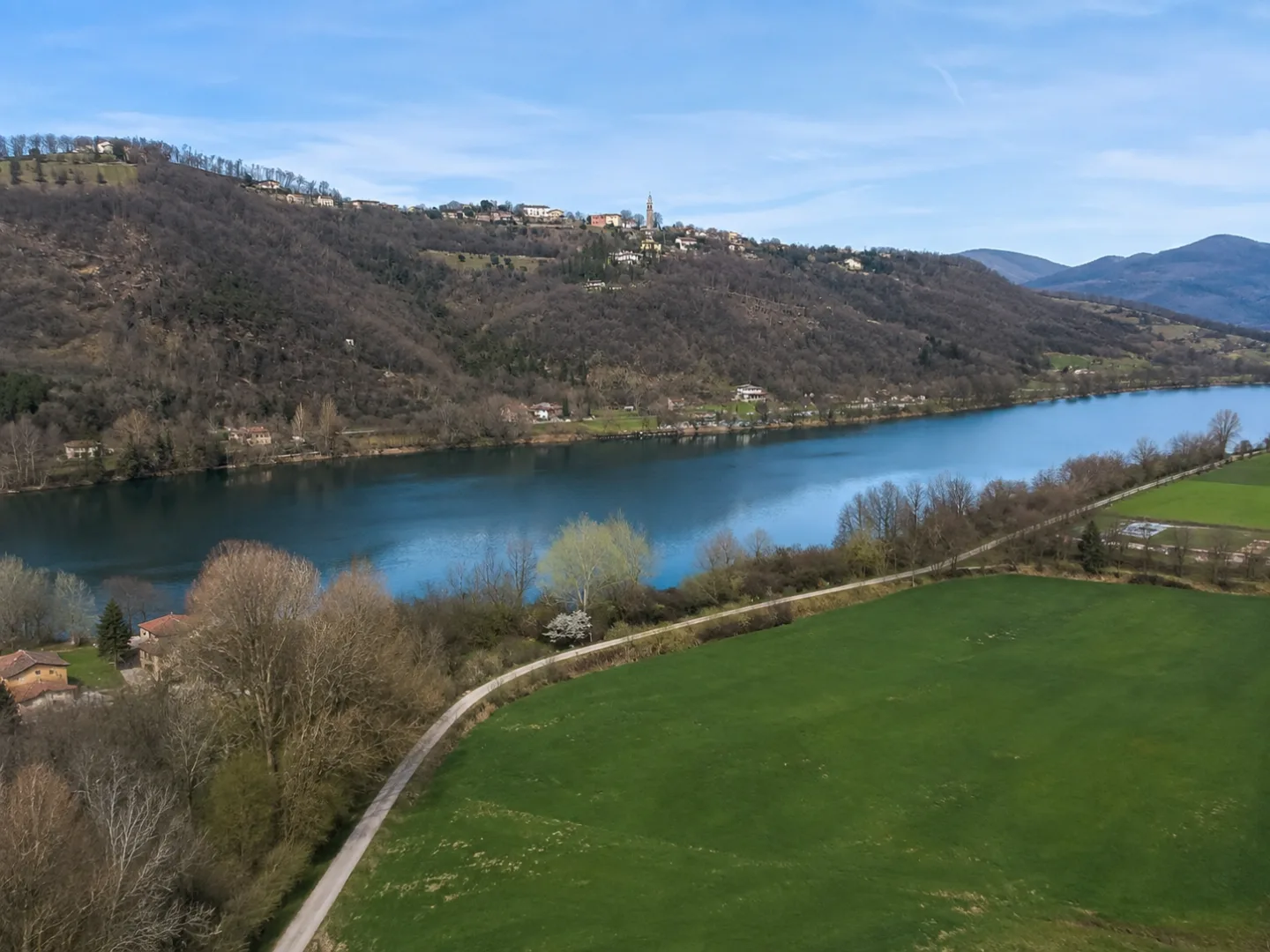
For residents
Live in a municipality and want to discover what your territory has to offer? Trails, cultural routes, bike tours, local activities: everything is at your fingertips, for free.
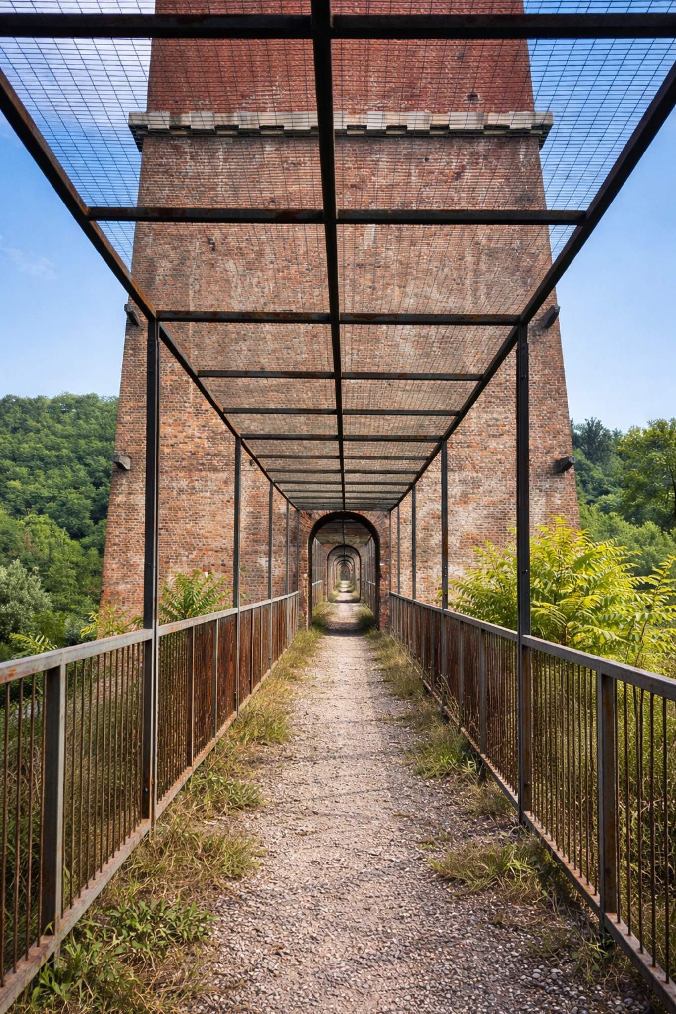
For tourists
On holiday or visiting an Italian municipality? Open TRAILGO and find right away what to visit: ready-made itineraries, GPS maps, marked points of interest. No need to search, no need to register.
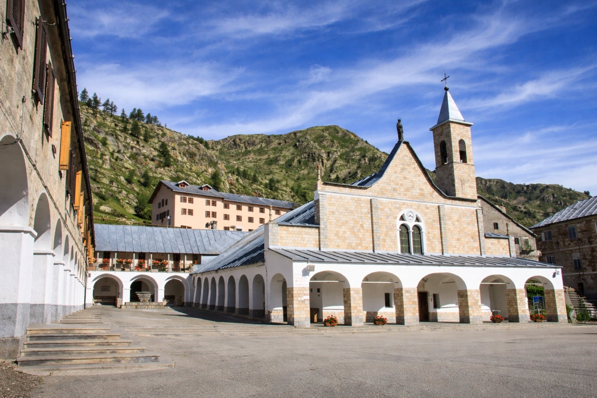
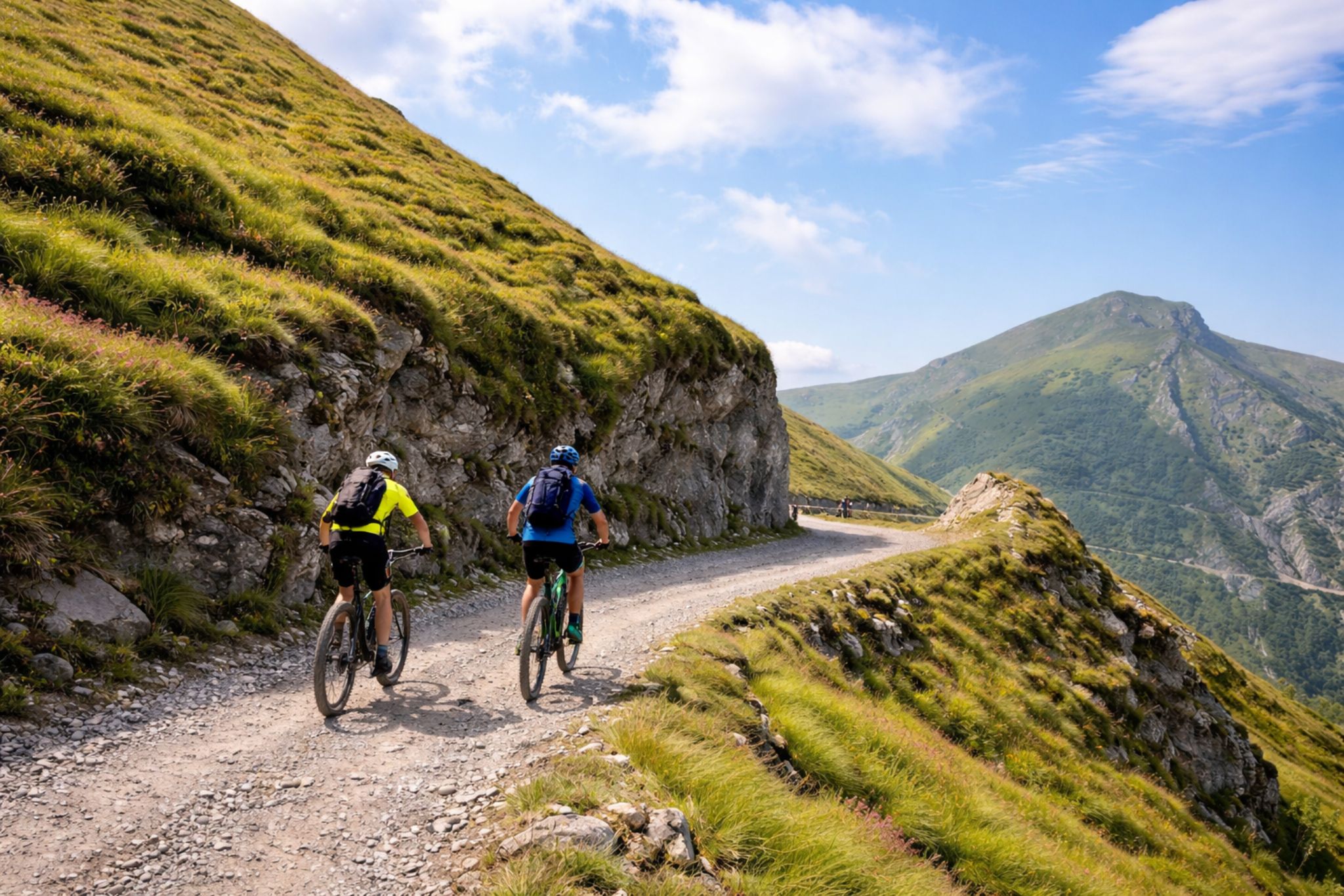
Each municipality, its routes
Every Italian municipality that joins TRAILGO offers its own routes: trails, museums, cultural routes, accessible paths. Everything curated by the territory, everything designed for those who live there and those who visit.
100% Free · No Limits
Everything you need, on your phone
Whether it's a mountain trail, a museum tour in the city or a food and wine itinerary: every TRAILGO route guides you step by step. Free, for everyone.
GPS Navigation
Follow the route in real time. Your position updates on the map, always.
Points of interest
Museums, churches, viewpoints and mountain huts marked along the route, with descriptions and photos.
Works offline
In the mountains without signal? No problem. Maps save and navigation continues.
5 languages
Italian, English, German, French, Spanish. Change language with one tap, everything translates instantly.
Accessibility guaranteed
Know before you go if the route is right for you: marked for wheelchairs, strollers and reduced mobility. No surprises.
QR Code: scan and go
Find a QR code on the territory? Scan it with your camera. In 3 seconds you have navigation ready.
Il nostro impegno
Perché TRAILGO è diverso
Otto promesse semplici, sempre valide, che non cambieranno nel tempo.
Nessuna App
Nessuna Registrazione
Nessun Abbonamento
Sempre Gratuito
Accessibile
Multilingua
GPS in tempo reale
Funziona offline
Cosa puoi fare
Tutte le esperienze
Ogni comune TRAILGO offre percorsi diversi: scegli il tuo tipo di esperienza e guarda cosa c'è vicino a te.
🥾EscursionismoSentieri di montagna, anelli panoramici e trekking di più giorni.
🚴CicloturismoPercorsi su strada, sterrati, MTB e itinerari adatti alle e-bike.
🏛️MuseiGiri dei musei del borgo, con tappe e racconto audio a ogni sala.
🌳NaturaParchi, aree protette, boschi e passeggiate lungo i corsi d'acqua.
🍷EnogastronomiaCantine, produttori locali e itinerari del gusto sul territorio.
🏰BorghiCentri storici, castelli e passeggiate tra le vie del paese.
🎭CulturaItinerari storici, chiese, monumenti e luoghi della memoria.
♿Percorsi AccessibiliTracciati verificati per carrozzine, passeggini e mobilità ridotta.
In evidenza
Featured Routes
Trails, cultural routes, bike paths and much more. All free, all navigable right away.
T
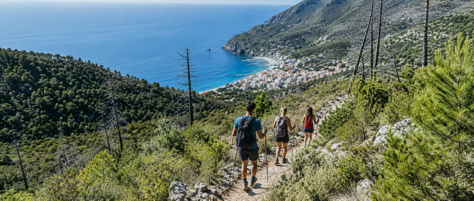 T
T
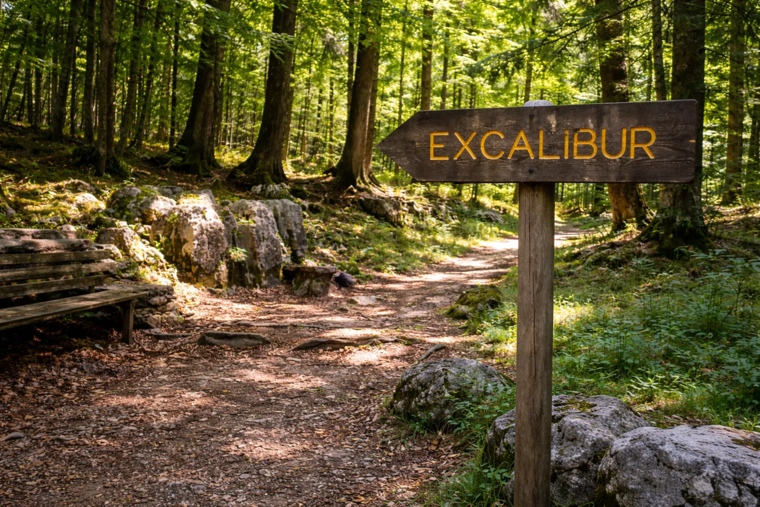 T
Accessibile
T
Accessibile
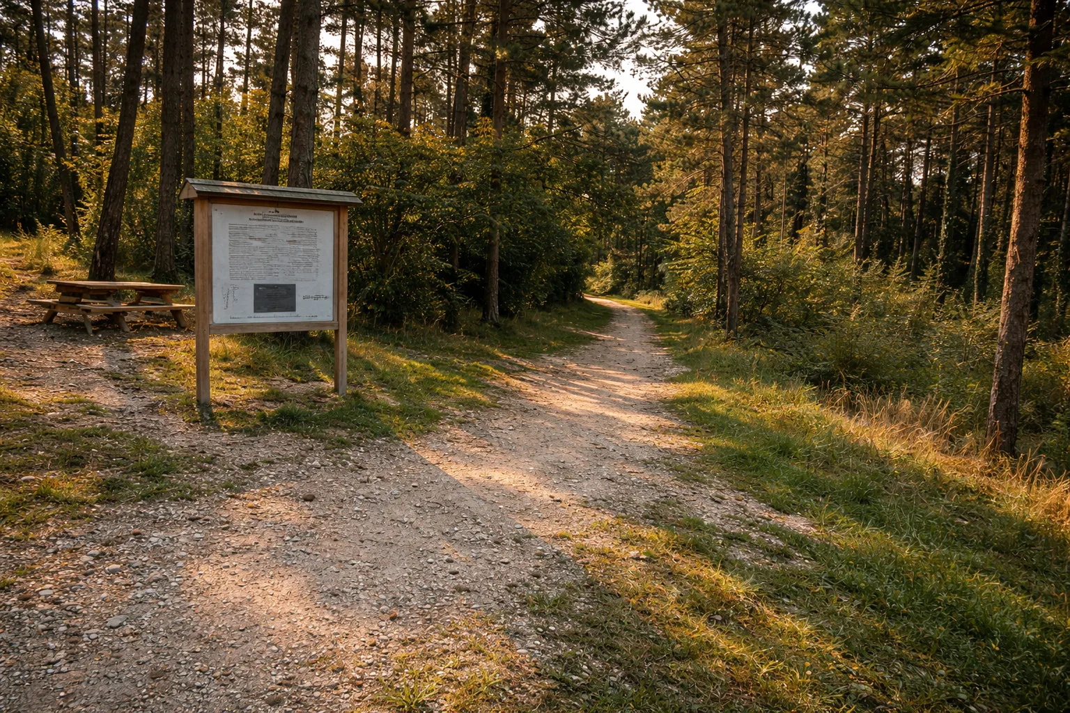
Excalibur educational-naturalistic trail
Tonezza del Cimone, VI
0.00km
42m dislivello
durata
View Details
 T
Accessibile
T
Accessibile
 T
Accessibile
T
Accessibile
 T
Accessibile
T
Accessibile
Explore on the Map
Tutti i percorsi, in un colpo d'occhio
All TRAILGO routes in Italy. Click on a point to discover what you can visit.
Trascina la mappa e clicca un punto per aprire la scheda del percorso.
Free Public Service
For everyone. No exceptions.
TRAILGO is a public service provided by Municipalities and local authorities for their citizens and all visitors. It's not a commercial app: there are no subscriptions, no paid features, no need to create an account.
In an unfamiliar place and want to know what to see? Open TRAILGO and find the routes that municipality prepared for you: nature trails, cultural routes, museum tours, bike paths, historic walks. Everything mapped, everything navigable, everything free.
And if you need to know if a route is accessible before you leave — for a wheelchair, stroller or reduced mobility — you'll find it clearly marked. No surprises.
No registration
No cost
No app to download
Unlimited access
🥾
Hikers
Trails and trekking with GPS navigation
🏛️
Visitors
Museums, churches, monuments and cultural itineraries
🚴
Cyclists
Bike touring, MTB and e-bike routes
♿
Accessibility
Routes verified for wheelchairs and reduced mobility
In cifre
TRAILGO by the numbers
Routes and Italian municipalities already available on the platform.
0
Routes
0
Municipalities
0
Regions
0
Visitors
Area riservata a Enti Pubblici, Pro Loco e GAL
Gestisci il turismo del tuo territorio?
Comuni, Pro Loco, GAL (Gruppi di Azione Locale), unioni montane ed enti turistici locali possono aderire a TRAILGO per promuovere i percorsi e il territorio a livello nazionale e internazionale. La piattaforma offre visibilità e permette di raccontare il territorio attraverso la tecnologia — valorizzando sentieri, musei, percorsi, borghi ed eventi, tutto gratuitamente per i cittadini.
La richiesta di adesione è riservata agli enti che gestiscono il turismo del territorio (Comuni, Pro Loco, GAL, enti turistici). Non è un'iscrizione per singoli cittadini o aziende private.
Richiedi l'adesione del tuo Ente
Cosa ottiene il tuo ente
Visibilità nazionale e internazionale
Percorsi navigabili con GPS in tempo reale
Traduzione automatica in 5 lingue
QR code per accesso diretto dal territorio
Pannello di gestione dedicato per l'ente
Choose what to visit and go.
No registration, no cost, no limits. Open TRAILGO and discover what the territory has to offer.

