Install TRAILGO
Quick Free Access
No Subscription
No Subscription
Scansiona per aprire
il percorso sul telefono
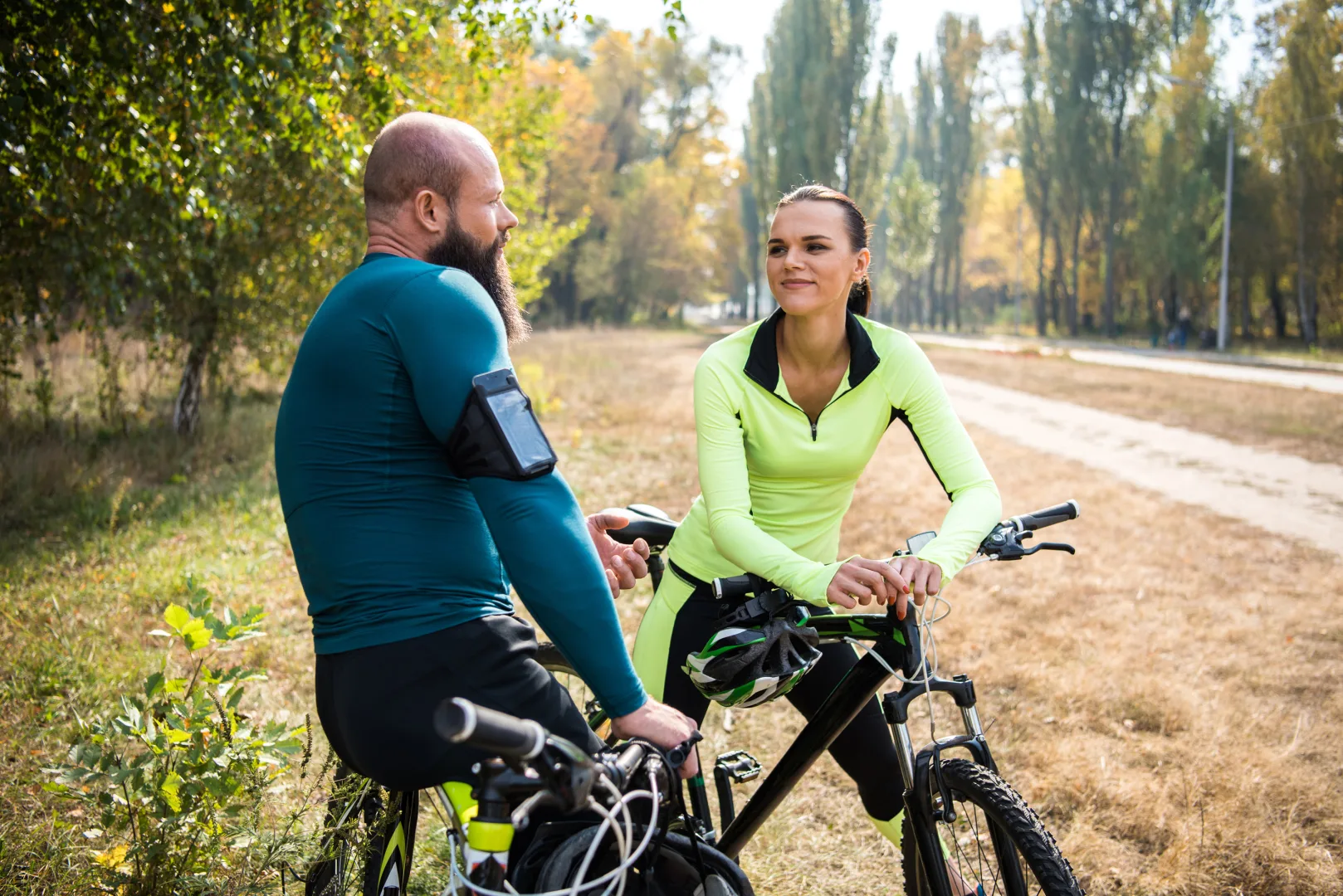
The loop route covers approximately 27 km with very little elevation gain. You won’t encounter any demanding climbs, only gentle and steady gradients on a smooth, well-maintained surface. This makes it suitable for all types of bikes, including MTB, e-bikes, and even gravel bikes. Despite the low physical effort required, the route offers an exceptional variety of landscapes and scenery.
The itinerary starts at the Casa del Fiume and the Park’s Info Point, where you can also rent bikes through the “Parko Bike” service. From here, immediately join the cycle path that runs alongside the Gesso stream, following it without deviation until you reach Borgo San Dalmazzo. You enter the town by passing under the railway, then a short climb leads to the IAT office and the entrance to the historic center. After crossing the Largo Argentera roundabout, continue to the roundabout leading դեպի Valle Stura; take Via Cavour to leave the town. A quick descent brings you to the Ponte del Sale (the only section where you need to be cautious of traffic), after which you rejoin the park’s cycle path, now running alongside the Stura di Demonte river.
Compared to the Gesso section, this stretch feels more wild and less developed, with very limited human presence, apart from the beautiful medieval canals, still bordered by stone embankments.
Continue following the clear signage, descending gently until you reach a paved road and then Ponte Vassallo, near the canoeing center. From here, take the dirt road, turning immediately left to complete the loop around the town. After reaching the confluence of the Gesso and Stura rivers, follow the final stretch along the Gesso stream until you return to the Casa del Fiume, where the route ends.
For more detailed information about the itinerary and the park, visit: www.parcofluvialegessostura.it.

Trail QR Code
Scan with your smartphone to start guided navigation directly on the trail.
Frame the QR code to open the full navigation
Access the interactive trail navigation with GPS map, points of interest and real-time tracking.
Open Interactive NavigationUseful Contacts: For additional information, contact the local tourist office or the reference shelter for the trail.